More Stories
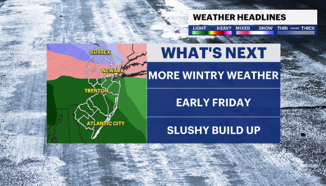
Storm Watch Team meteorologists are tracking the possibility for more snow to come to New Jersey by Friday.
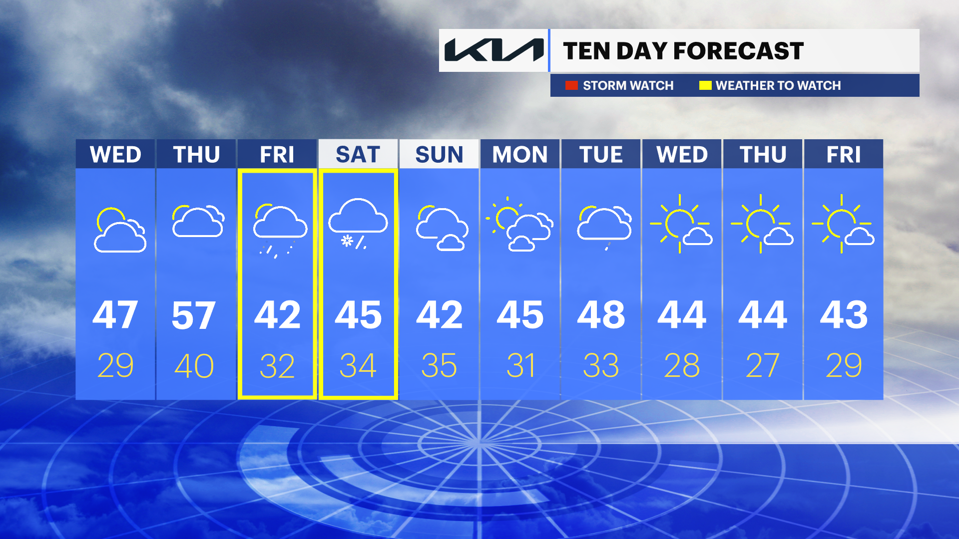
WHAT’S NEXT: Slightly warmer temperatures for Wednesday and Thursday, with some rain. Cooler temperatures for Friday could bring accumulating snow to areas of North Jersey by Friday morning. Some overnight clouds are expected.
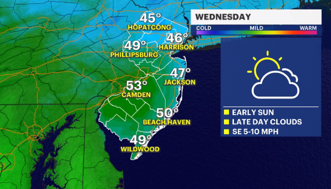
WEDNESDAY: Dry, but mostly cloudy. Daytime highs around 47 degrees. Overnight lows around 29.
THURSDAY: Mostly cloudy with warm temperatures. Daytime highs around 57. Overnight lows around 40.
FRIDAY: Cloudy with the chance of some precipitation. Rain expected in southern areas of the state. Snow is possible in northern areas. Daytime highs around 42. Overnight lows around 32.
WEEKEND: Mostly cloudy with some precipitation expected on Saturday. Daytime highs in the 40s. Overnight lows in the mid-30s.
More from News 12
1:56

Popcorn Park Animal Refuge seeks help in repairing blizzard damage
4:29

LIVE UPDATES: NJ Transit to resume bus & rail services Tuesday morning
1:37

Warmer temps finally on the way after brutal stretch

Back-to-back storms? There’s weather to watch this weekend in the tri-state
2:11

Gov. Sherrill announces public transit suspensions amid ‘dangerous storm’
1:17
