Newark Information
☀️
UV Index Today
--
Loading...
🍃
Air Quality
--
Loading...
🌡️
Average High / Low
-- / --
1991-2020 Normals
EWR Climate
🏆
Record High / Low
-- / --
Loading...
EWR Climate
Loading latest Newark information...
FORECAST:
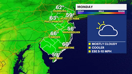
Today's weather is warmer than yesterday, and this mid-week mild surge lasts through Thursday before the front arrives to take it all away. Highs will reach the lower 70s for today, tomorrow, and Thursday as a light southwest wind primes the environment ahead of a sweeping front that introduces cooler air for the weekend.
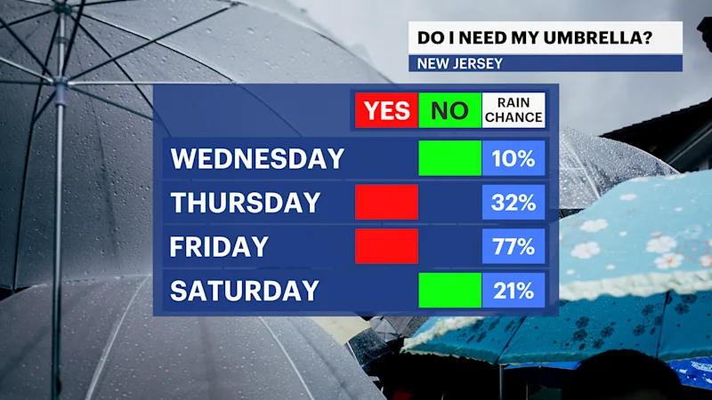
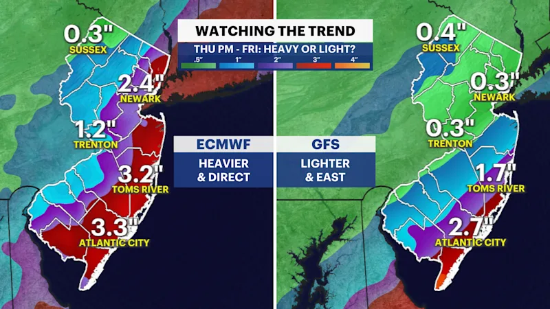
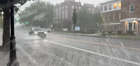
The front on Thursday night and Friday marks the first rain in 17 days. Our dry streak started on Oct. 18. The rain on Friday can be heavy along eastern New Jersey. The front slows as it passes across the state, and it could stall along our coastline or just to the east. If this is the case, heavy rain can fall along the Garden State Parkway. The track matters as some weather modeling pushes the heavy axis of rain just offshore, which would significantly lower rainfall totals.
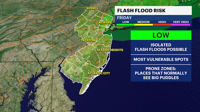
For now, the National Weather Service highlighted northeastern New Jersey with a low threat for flooding, localized to the most prone areas during potential downpours.
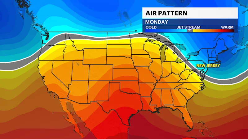
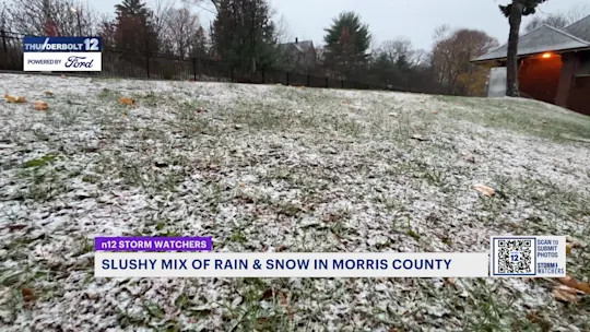
The pattern changes into the weekend and next week where colder air filters into New Jersey. This colder air will keep highs in the mid-50s and lows near freezing northwest and in the lower 40s in the eastern side of the state.
FUTURECAST:
TIDES:
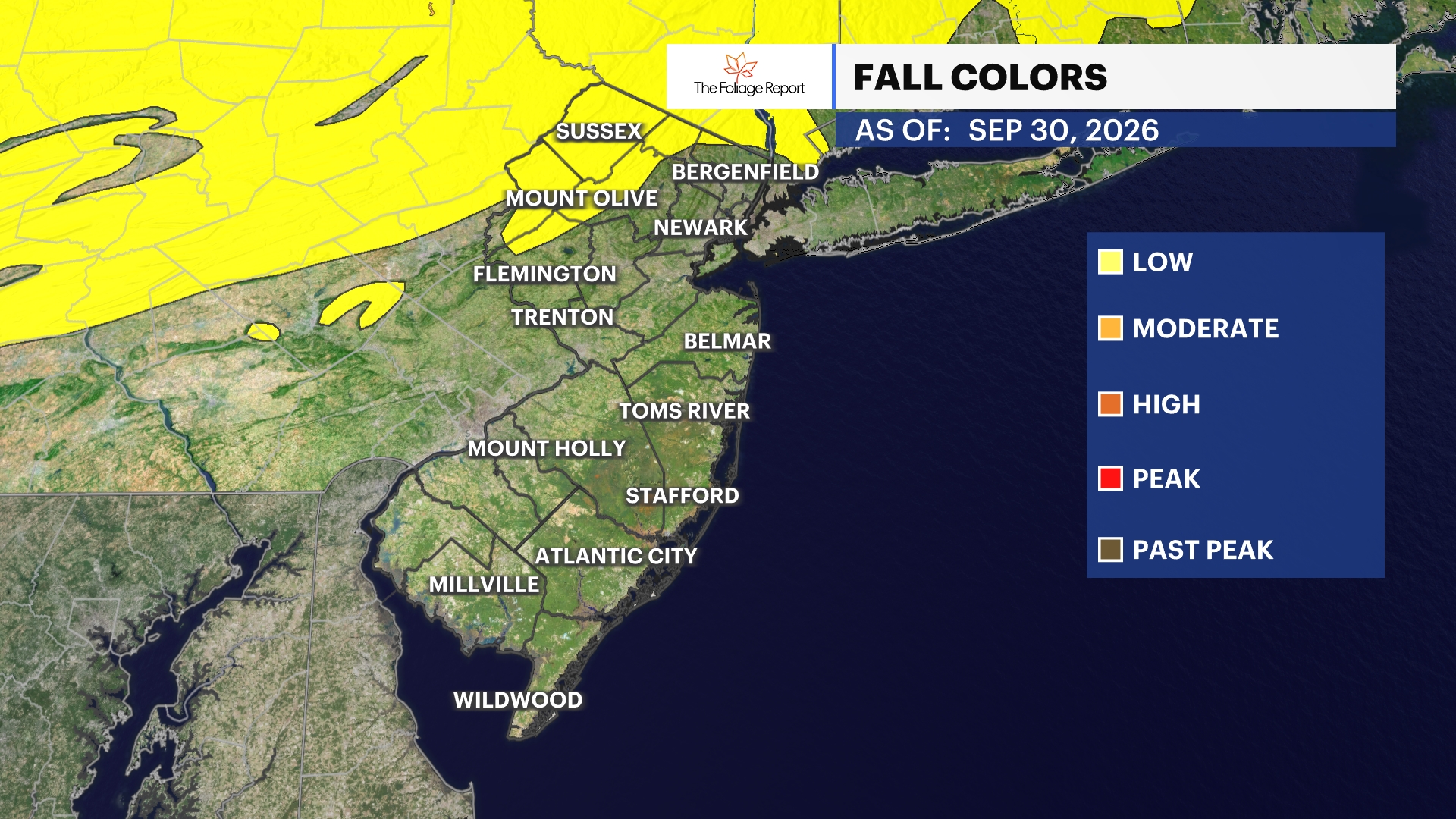
FOLIAGE UPDATE (New report every Wednesday):