The rain has passed, now New Jersey waits on the warm-up
It will be the first time in a month that we have had a completely dry weekend. It's also the first Saturday in three weeks what will not feature rain in the forecast.
More Stories
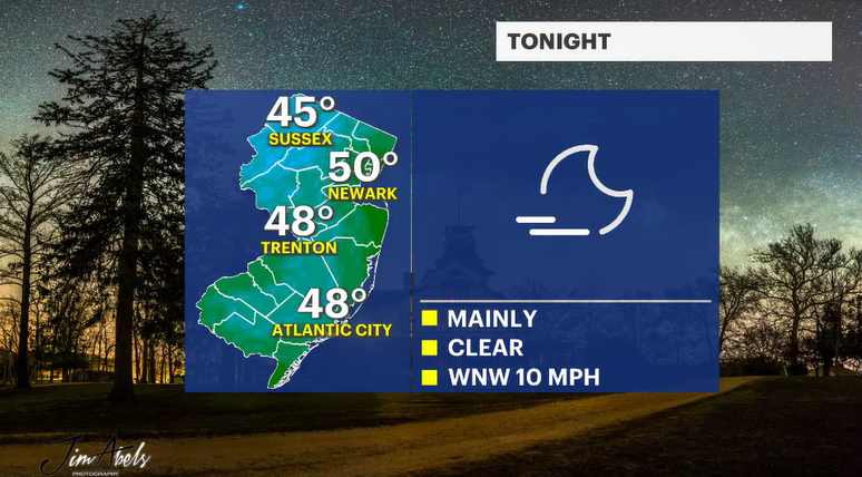
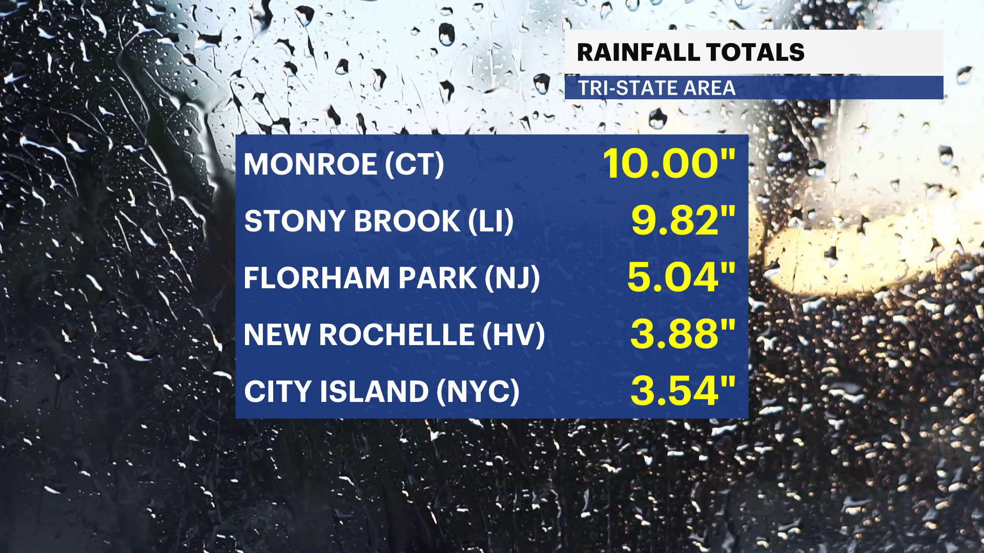
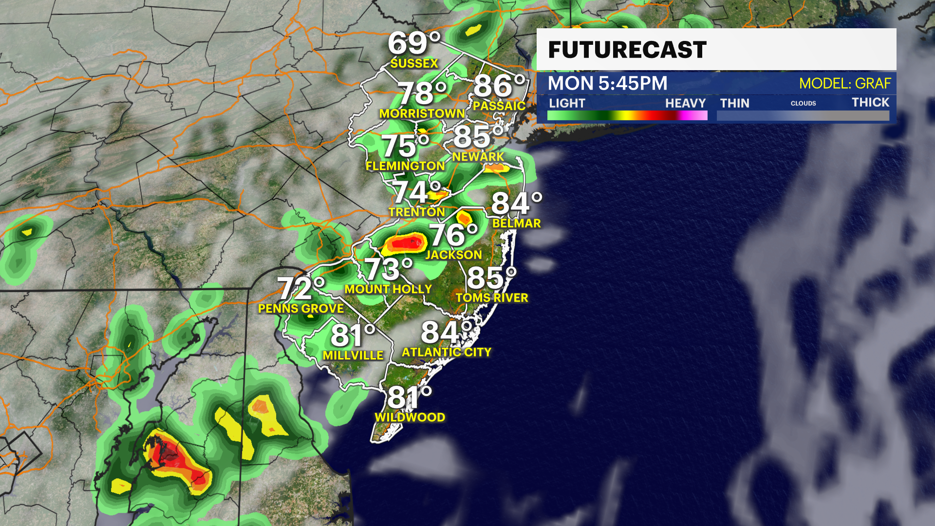
The rain showers have passed - the weather system responsible for the storms last night is just offshore. The winds have changed direction, and a few instability clouds could still pivot around the center of that wet weather maker for tonight, but overall, I think the drier, cooler air will help erode most of that overcast. As a result, temperatures tonight will dip down into the mid- and upper 40s.
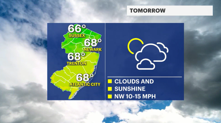
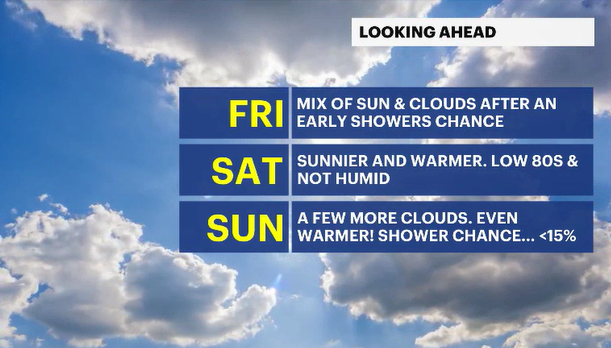
Friday will feature clouds and sun. It will likely be brighter in the first half of the day, with the sun trying to warm the air at the surface. But, as colder air aloft continues to stream in for the Great Lakes and Canada, more and more clouds will build. Daytime temperatures will warm to the upper 60s and low 70s. That northwesterly flow will continue to transport that drier Canadian air, so humidity levels will be bone dry.
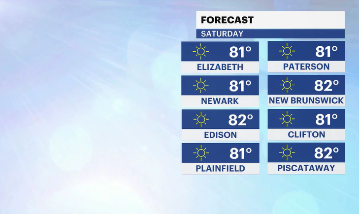
Saturday is stunning - just perfect. Brilliant blue skies. Wonderfully warm and dry air. It will be the first Saturday in a month where it won't be precipitating.
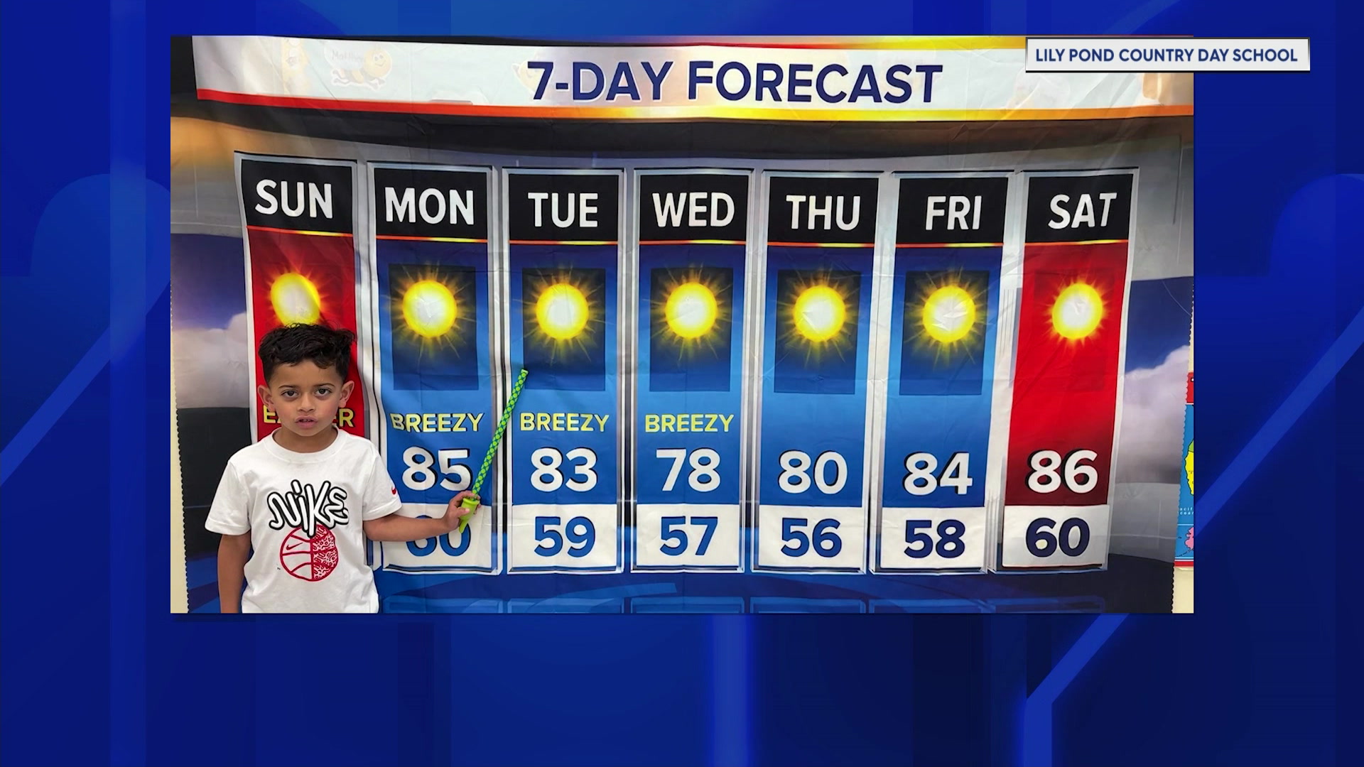
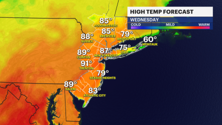
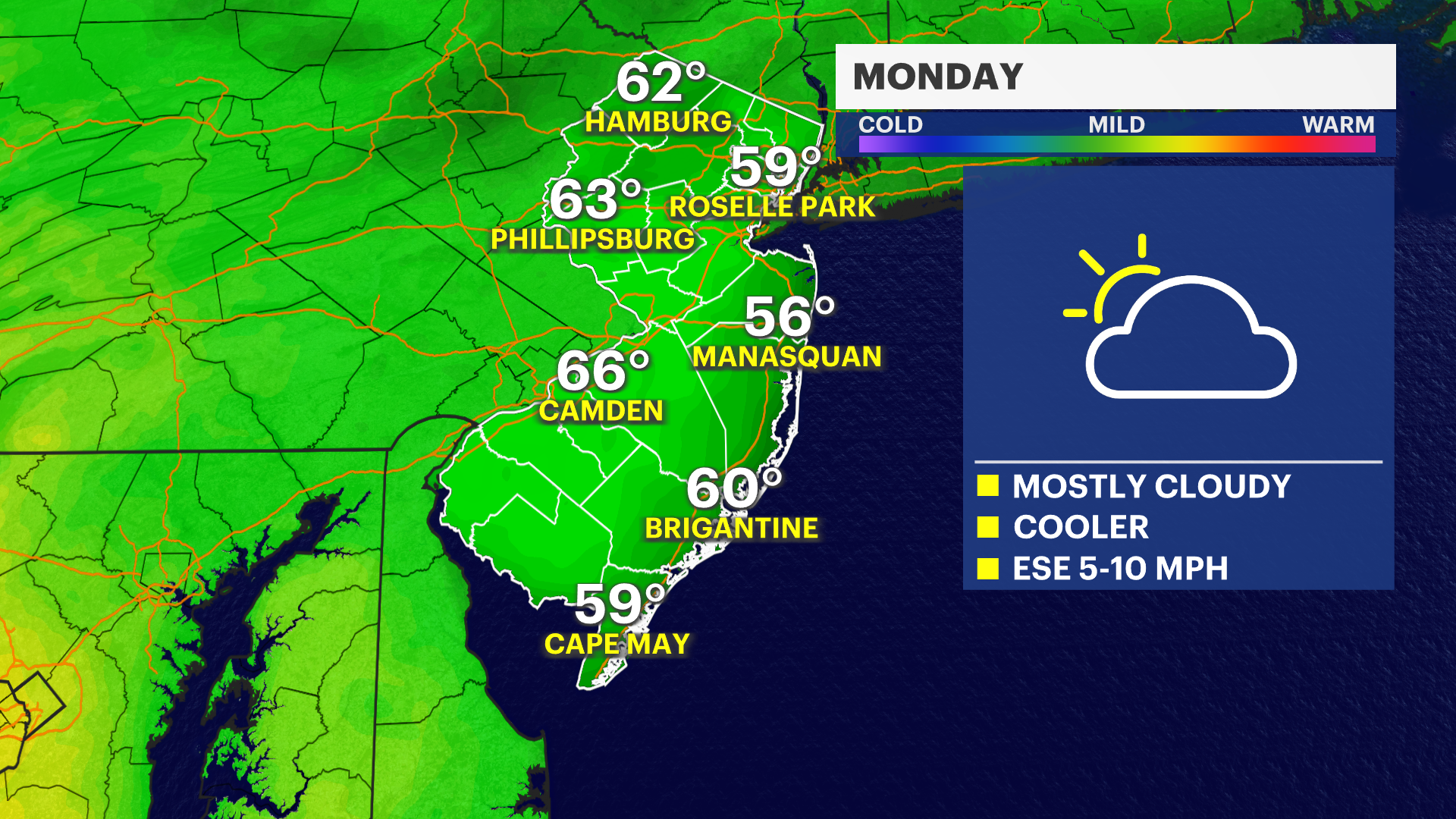
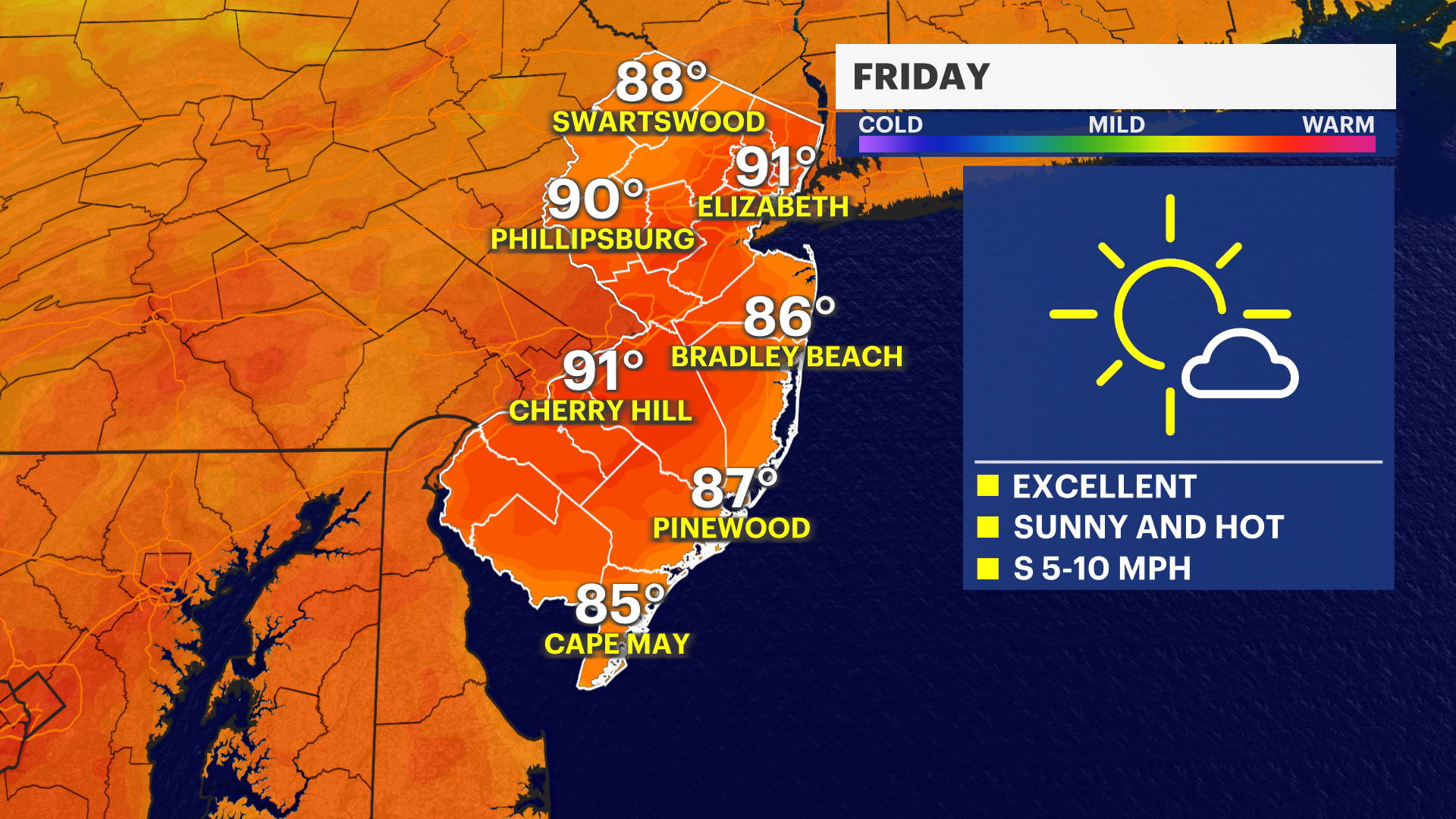
The second half of the weekend is even warmer. It's possible New Jersey could be flirting with near 90 degrees. The wind direction will be coming out of the west southwest. This is going to start transporting some mugginess up the East Coast, which will lead to the warmest airmass in a month going into early next week.
