Newark Information
☀️
UV Index Today
--
Loading...
🍃
Air Quality
--
Loading...
🌡️
Average High / Low
-- / --
1991-2020 Normals
EWR Climate
🏆
Record High / Low
-- / --
Loading...
EWR Climate
Loading latest Newark information...
Check coastal alerts and tide information
FORECAST:
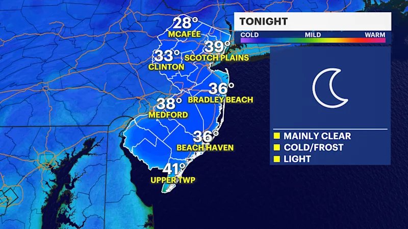
Lows will fall into the 30s and many areas will see their first frost south of I-195. The National Weather Service has issued freeze warnings and frost advisories for central and southern counties in New Jersey.
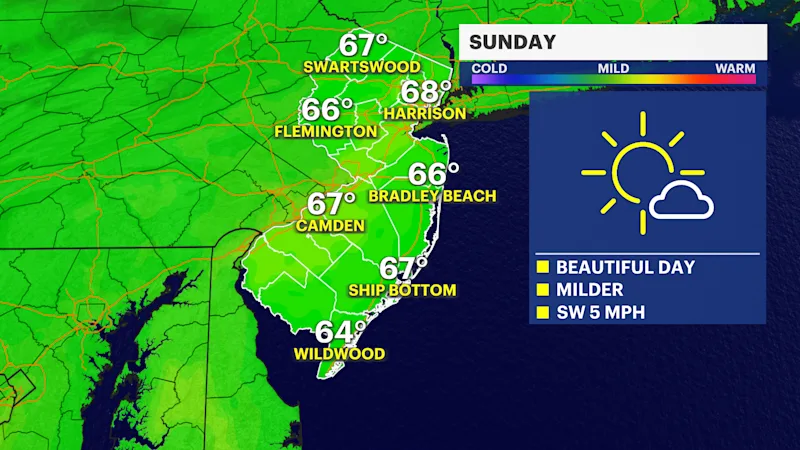
Temperatures will recover very quickly by Sunday afternoon as winds will turn more westerly and then southwesterly. High temperatures will rise into the upper 60s.
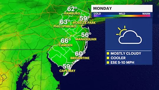
Monday will be even warmer with temperatures breaking the 70-degree mark.
A cold front will come through heading into Tuesday and temperatures will once again cool down into the 60s.
The dry stretch of weather continues with more sunshine and very dry conditions through the week.
The next chance of rain is looking more likely about a week from Saturday, with rain for next Sunday and Monday.
FUTURECAST:
TIDES:
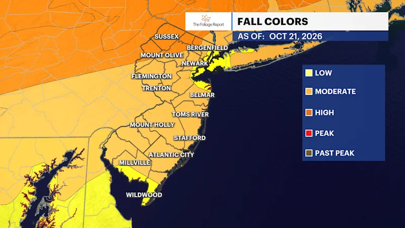
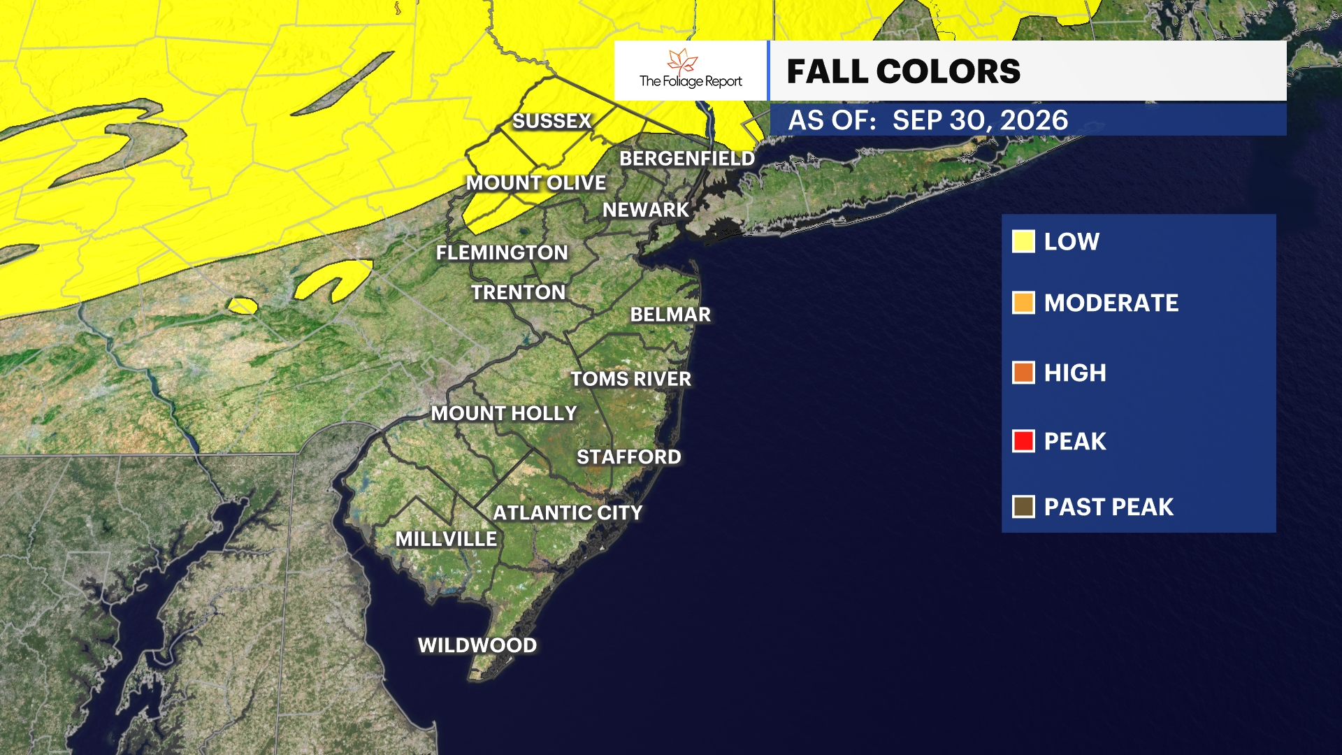
FOLIAGE UPDATE (New report every Wednesday):