More Stories
Colder temperatures will return to New Jersey following several days of above-average weather.
Storm Watch Team Meteorologist Hilda Estevez says she is tracking the potential for some light snow Sunday night into Monday morning.
WHAT’S NEXT: Quick and nuisance snowflakes and showers head toward northern and northwestern New Jersey late Sunday night into early Monday morning. No major impacts expected.
OVERNIGHT: Grab the heavier coat for the overnight hours and Saturday morning. Temperatures dip to the mid-30s. New Jersey will also see the first full moon of 2023 under a partly cloudy sky.
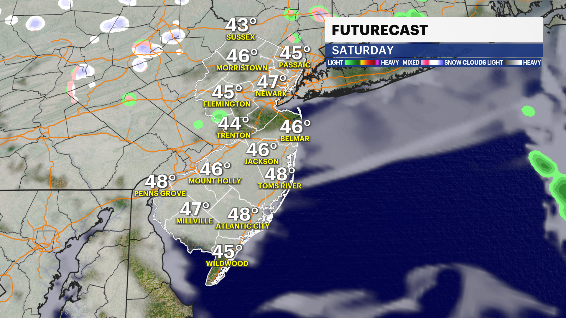
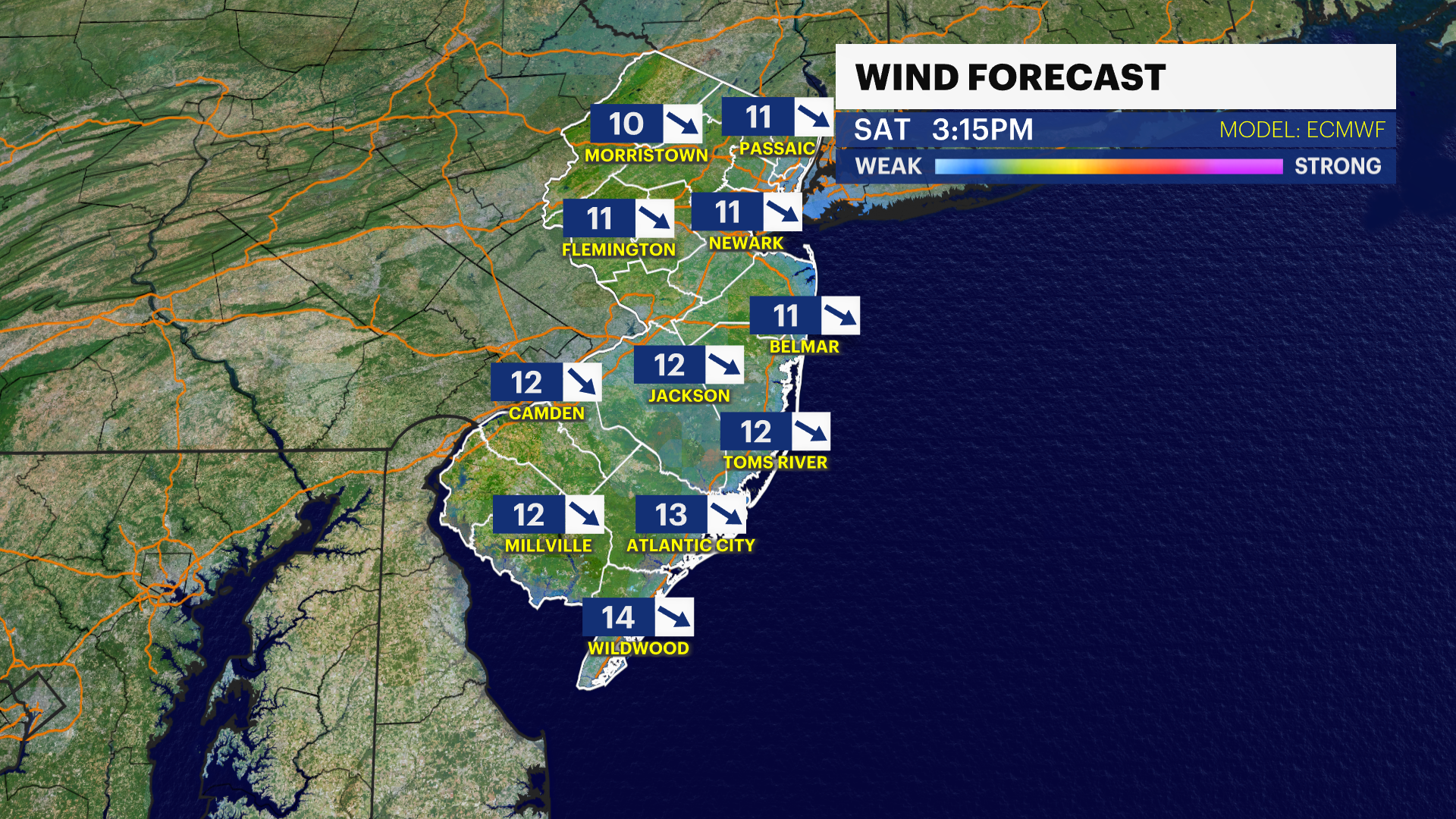
SATURDAY: Partly sunny with colder dry air mass filtering in. Winds 5-5 mph. Highs near 45. Lows drop near 30.
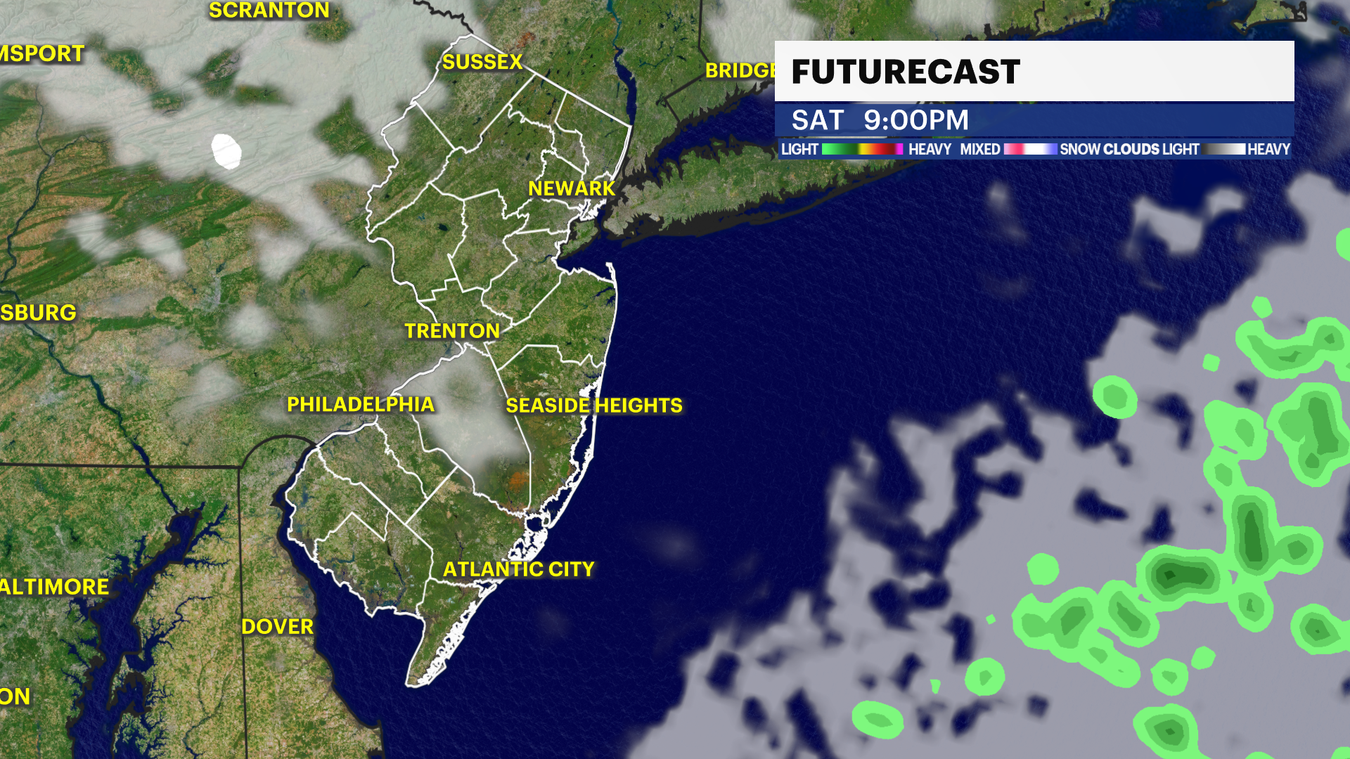
SUNDAY: Mostly sunny with increasing clouds at night. Late evening showers arrive close to 9 p.m. Overnight into Monday quick change over to mix/snow from Interstate 195 and north. Wintry mix becomes just rain after 6 a.m. Monday. Highs near 41 and lows near 31.
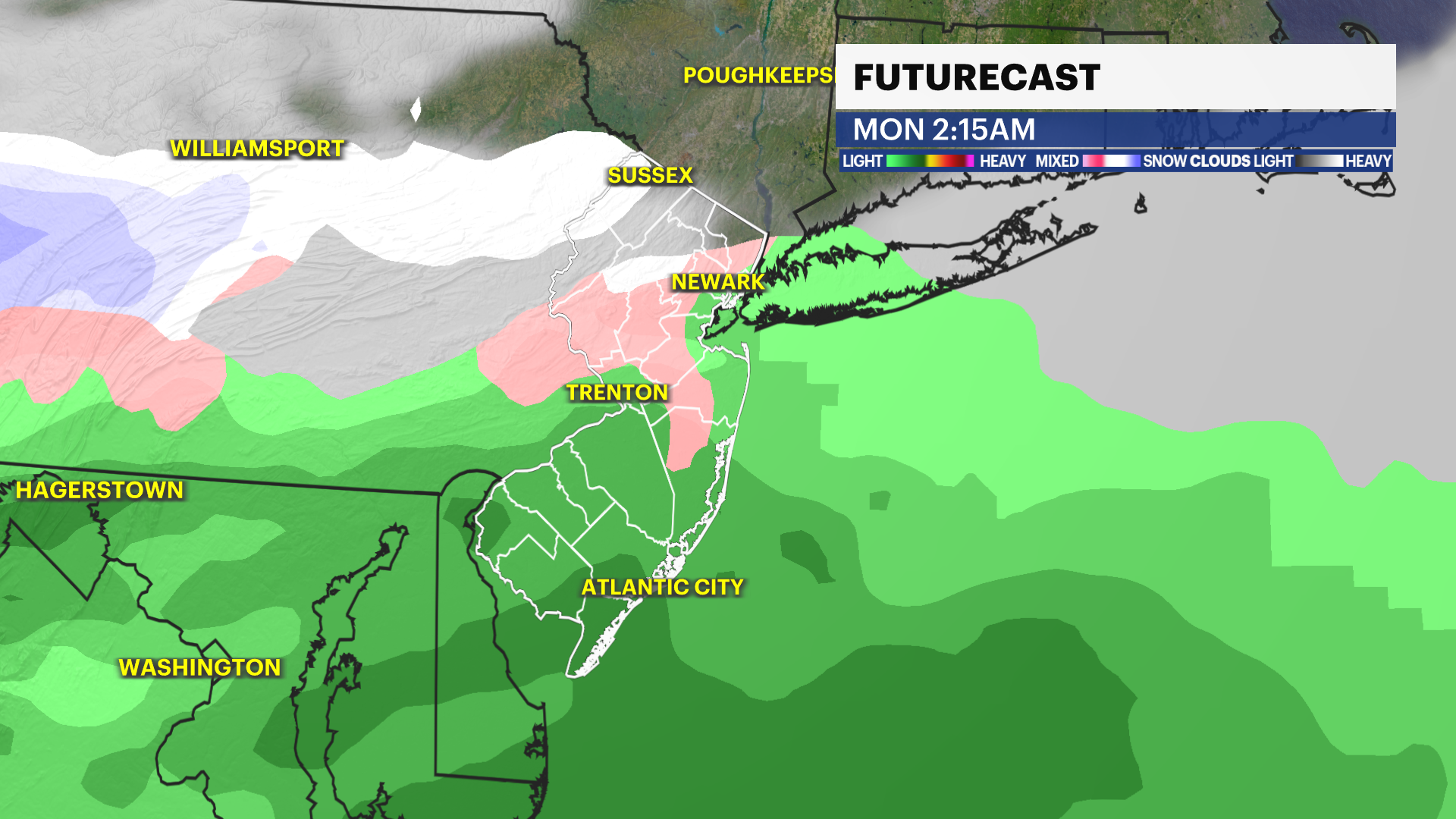
MONDAY: Rain and clouds start off the day for areas north of Interstate 78. Rain clears out by noon. Highs near 44. Lows near 30.
TUESDAY: Quiet and mostly sunny. Highs near 47. Lows near 34.
WEDNESDAY: Sun and cloud. Highs near 45. Lows drop below freezing near 27.
More from News 12
1:47

Celestial sights you don’t want to miss this April
1:56

Popcorn Park Animal Refuge seeks help in repairing blizzard damage
4:29

LIVE UPDATES: NJ Transit to resume bus & rail services Tuesday morning
1:37

Warmer temps finally on the way after brutal stretch

Back-to-back storms? There’s weather to watch this weekend in the tri-state
2:11
