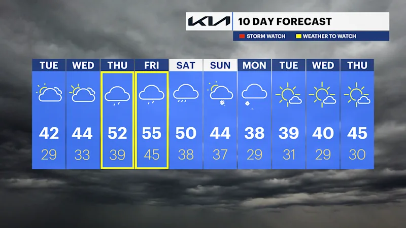
Dave’s Forecast: Temperatures warm up, but rain persists throughout the week
There could be a touch of freezing drizzle to keep an eye out for for the overnight hours.
More Stories




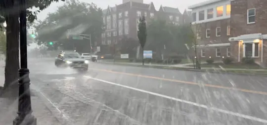
No weather alerts yet, but the weather pattern remains very unsettled this week. There isn't much sunshine to look forward to and the on-and-off nature of the rain is going to get annoying quickly.
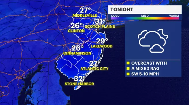
TONIGHT: There could be a touch of freezing drizzle to keep an eye out for. Most short-range guidance has some moisture skipping through the northernmost part of the state.
MORE: News 12 New Jersey Weather Center
Temperatures remain cold so any rain or mix that falls will freeze on contact. Sidewalks, steps and driveways could see a very slight glaze develop well north of Interstate 80 and in communities with elevation.
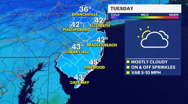
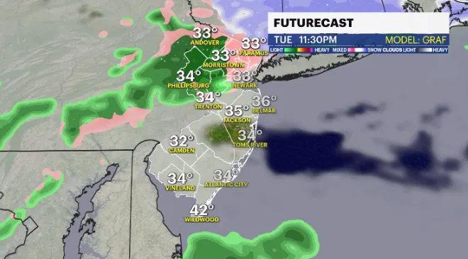
TUESDAY: Mainly overcast after a possible slippery start up north. Temperatures are seasonable, around 40 degrees. There will be sprinkly moments to the day but it won't be a washout.
Tuesday night again could feature some freezing drizzle. Any kind of potential glaze could make paved surfaces slick. Use caution and be aware.
COMING UP: Wednesday through the rest of the week is warmer but it's also wetter. A more organized line of rain will focus on the state from the south. This pattern will remain wet through the weekend.