The National Weather Service has issued a wind advisory for parts of Bergen, Cape May, Monmouth, Morris, Ocean, Passaic and Sussex counties.
Just because the snow threat is diminishing for us here in New Jersey, doesn't mean we are done with winter just yet. Oh no, my friends. The storm impacting millions of Southerners with snow and ice will pass to our south with very little, if any, precipitation at all. It will however drag yet another shot of cold Canadian air through the region starting early next week.
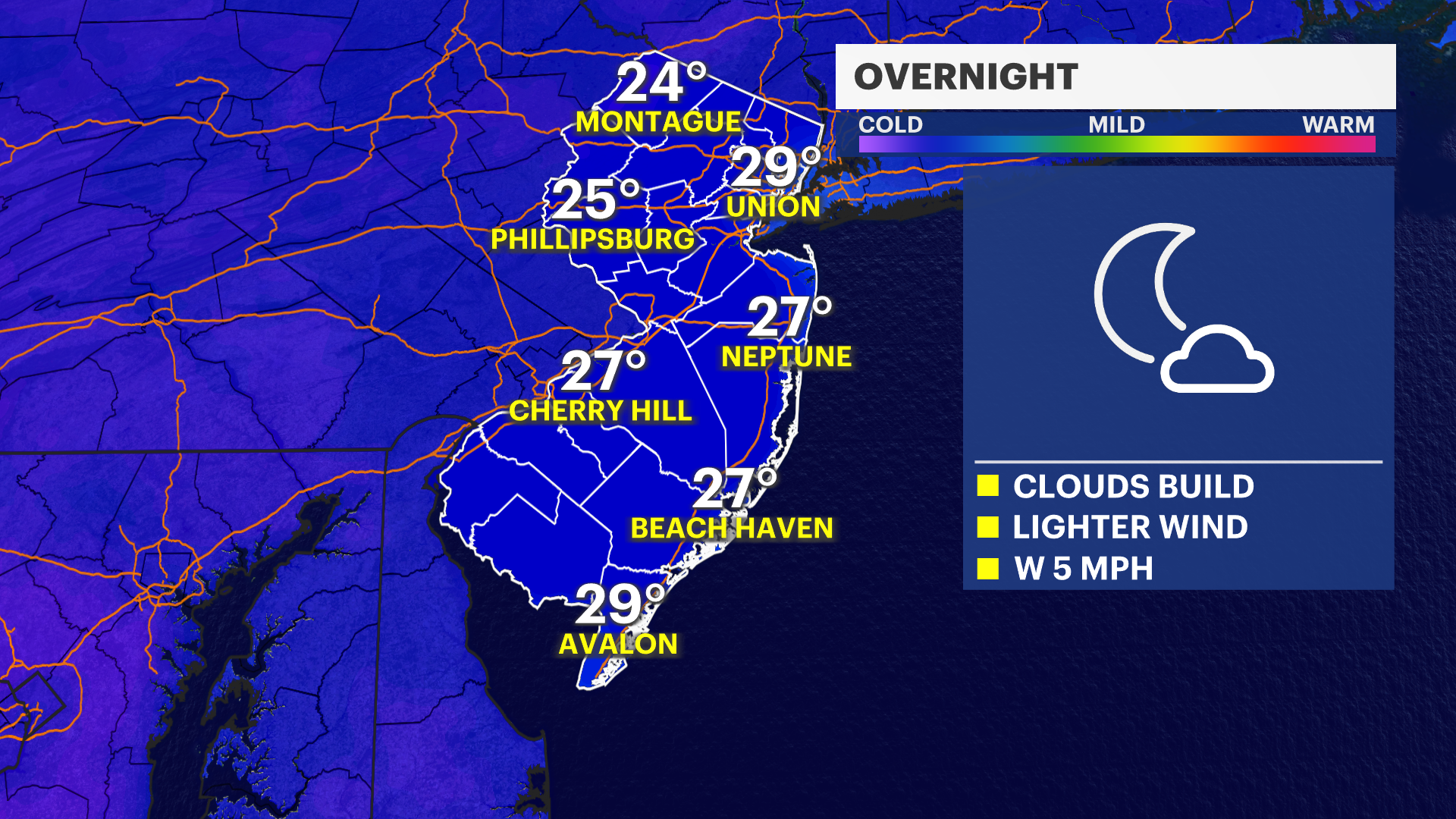
TONIGHT: Mainly clear and chilly. Cold, but not as cold as nights past. Low: 23.
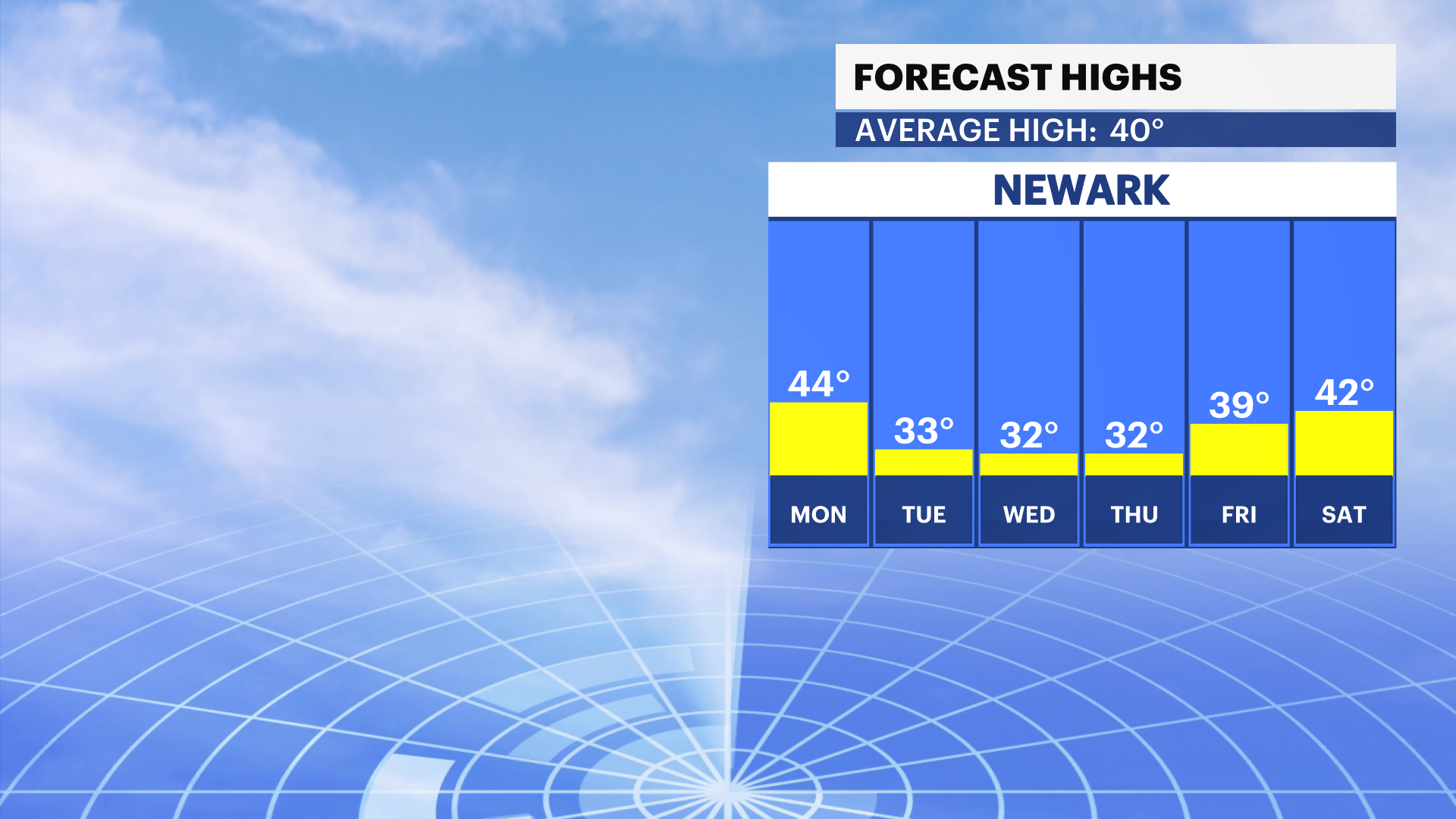
FRIDAY: Clouds collect. Less windy and seasonable. Temperatures get to climb to where they should be for this time of year – around 40 degrees.
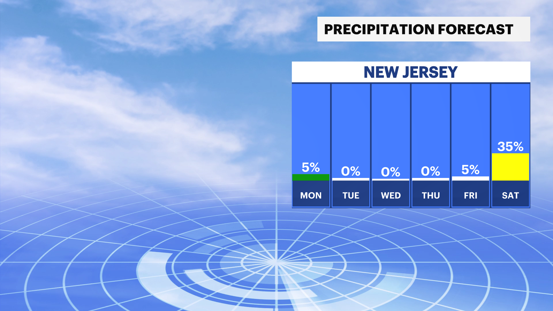
SATURDAY: Mainly cloudy. Seasonable. It's possible for on-again, off-again flurries. The air is just too dry to support snow as the storm splits and dives to our south and heads to the north.
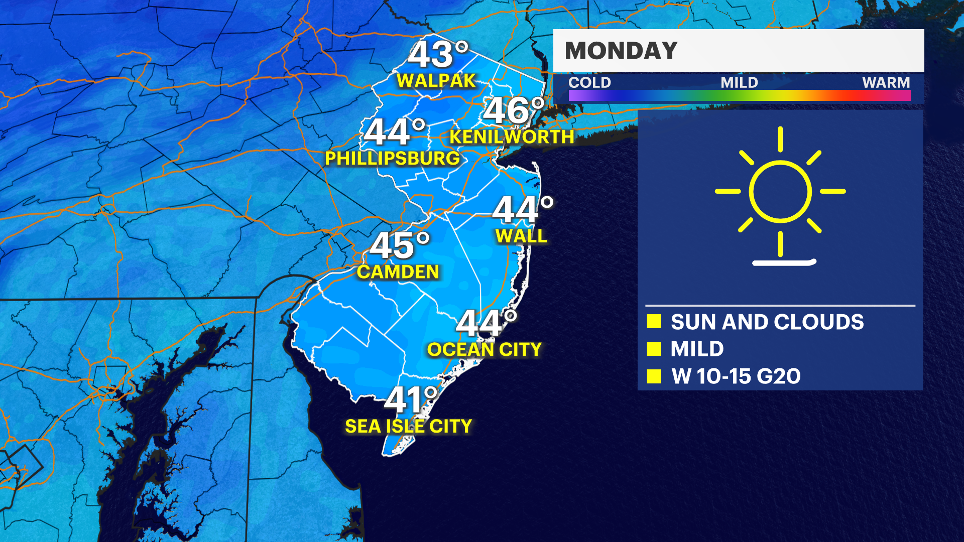
SUNDAY: It becomes a bit breezy again. Mainly sunny. Highs near 41.
NEXT WEEK: More cold and more wind. From Tuesday through Thursday gusty winds and colder temperatures for this time of year. It's not record-breaking, but it is hovering just below freezing.