Sunshine returns today in the Hudson Valley
Better weather is in the forecast for your Sunday plans, but another round of rain and cold returns later this week.
Top Stories


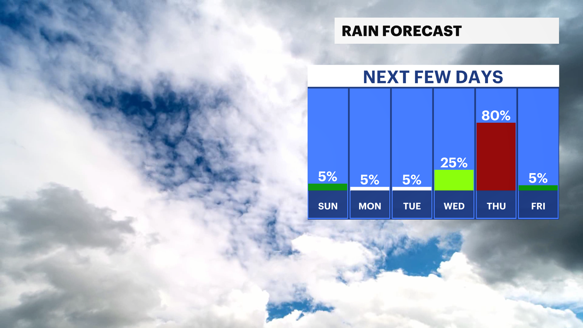
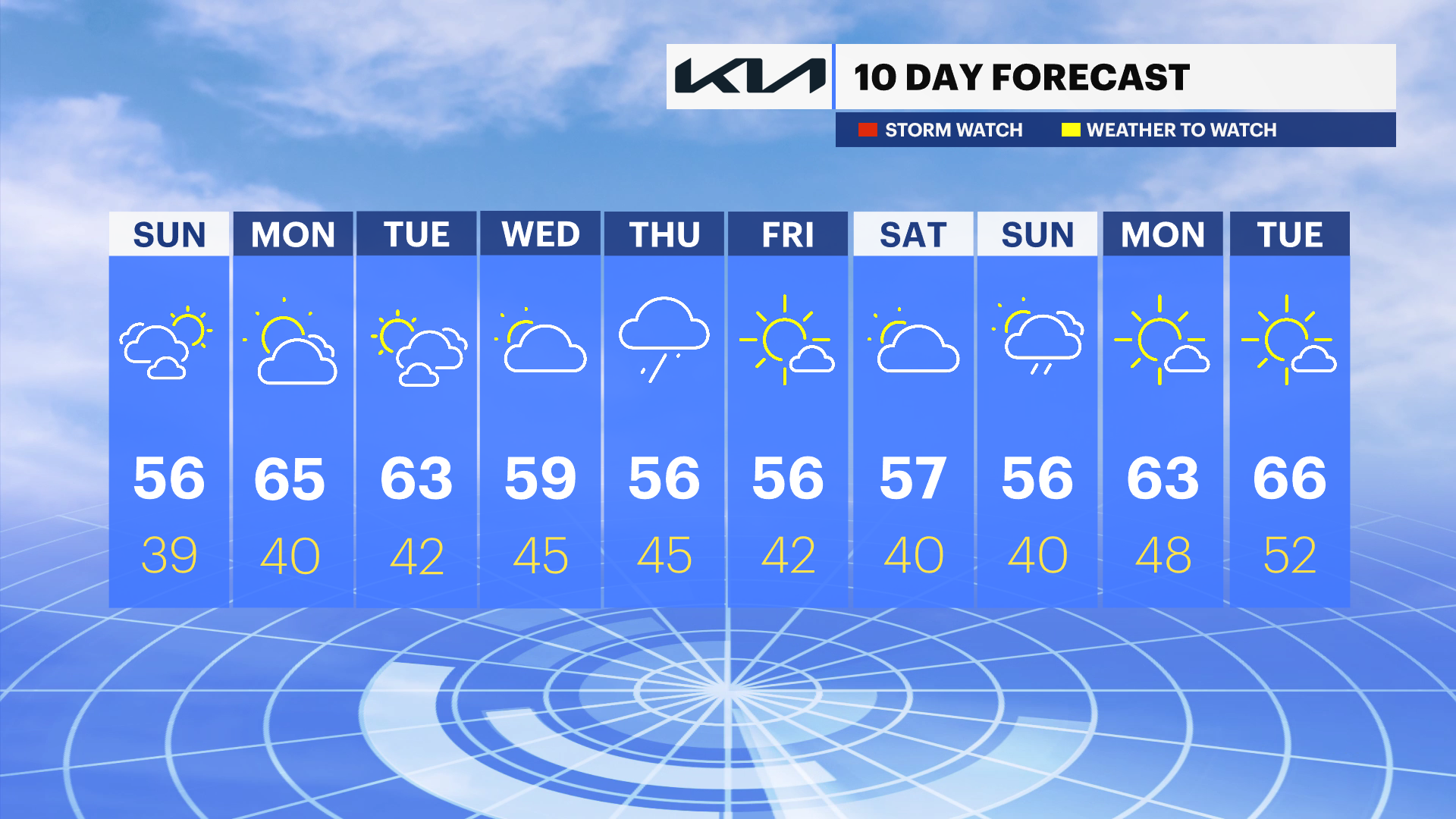
It's a nicer finish to the weekend across the Hudson Valley, but frost is possible tonight in northern neighborhoods and higher elevations. Beautiful weather is expected for Monday and Tuesday, but another storm will bring showers Thursday and a chilly finish to the week (and start to May).
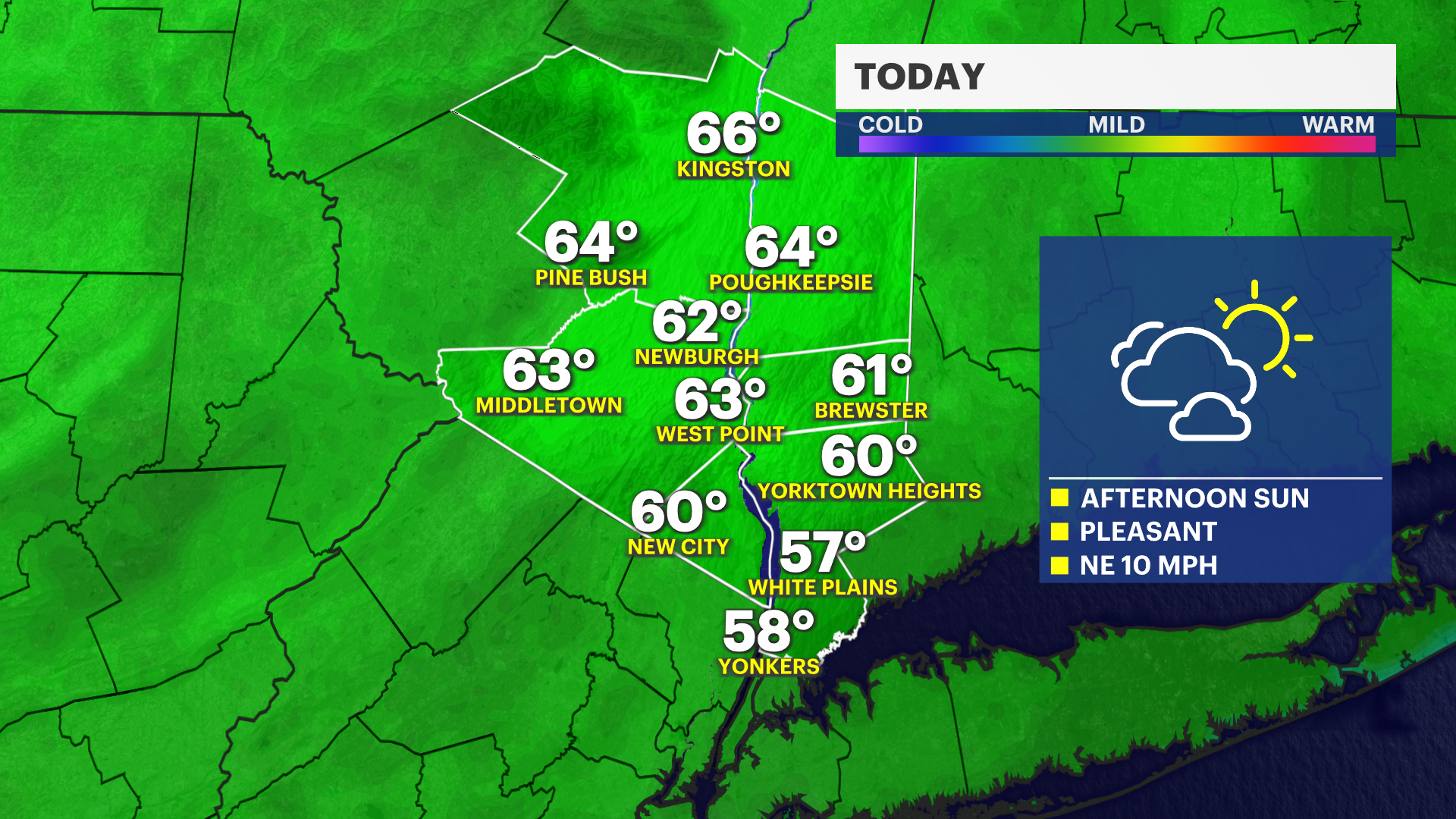
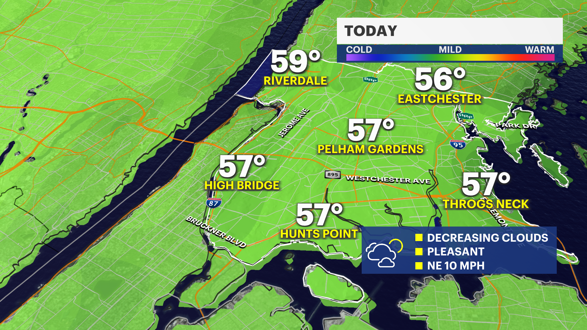
Today: Sunshine returns
Cloudy conditions and drizzle are ending across the area and peeks of sunshine return this afternoon. High temperatures are in the upper 50s. Cooler for coastal areas.
Tonight: Frost in cold spots
Watch for frost in upper Hudson Valley especially, otherwise it's a clear and quiet evening with lows in upper 30s.
Monday & Tuesday: Seasonable and dry
A mix of sun and clouds is in the forecast with highs in the 60s.
The next storm
Thursday is chilly and mostly cloudy with showers expected. Temperatures will be well below average and in the 50s for the remainder of the week.
Warmer weather returns?
A week from today, temperatures will return back to normal for this time of the year and conditions will be favorable for warm-season gardening to begin.