TRACKING OPHELIA: Weekend storm expected to produce heavy rain, coastal impacts
A coastal storm arrives overnight with rain and gusty winds.
More Stories
This weekend’s forecast has fallen out of the ugly tree and hit every branch on the way down!
The National Hurricane Center has detected distinct rotation at the center of the storm and sustained winds are over 39 mph. Thus, our storm is tropical in nature and has been named Ophelia. Regardless of name or not, wind-driven rain will batter New Jersey through the weekend.

So, let’s get to the nitty gritty. How will this storm affect the state? Well, in multiple ways.

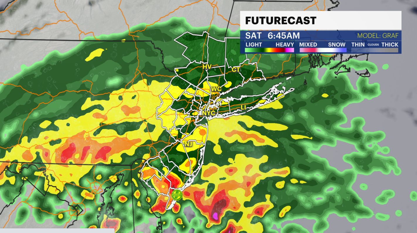
RAIN: Lots of it and through most of the day. There will be short breaks, but the majority of the day will be a wind-driven rain.


WATCH: PSE&G spokeswoman talks about utility company's preparation for Ophelia
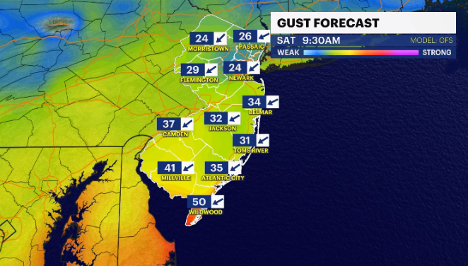
WINDS: 15-25 mph gusts to 35 mph away from the beaches. The coast gets battered - 30-40 mph wind, with gusts up to 50+ mph. Unfortunately, the power may flicker and property damage could happen.

MORE: News 12's local forecast report
GUIDE: Flooding safety tips to follow
WAVES: 10-15 feet. Erosion and scarfing will occur.
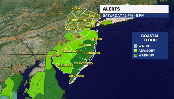
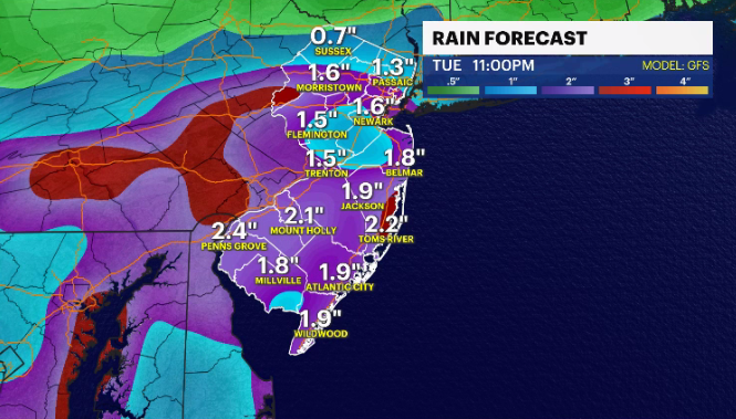
FLOODING: Both street and coastal flooding can be expected. Saturday's high tide happens midafternoon. Check your local tide charts for your neighborhood. On top of 1-3 inches of rain, 1-3 feet of saltwater inundation may pool up in more susceptible areas.
It's a dreary weekend. Most local community functions/activities and kids' sports practices have been or will likely be canceled or postponed due to the impending storm. Every once in a while, Mother Nature gives us a moment/reason to slow down in our busy schedules. Take the time for yourself and your family and enjoy.

For all the latest details on the storm, watch or stream News 12.
Have a great weekend everyone. Be safe and stay dry.


