Let’s clear the air: How much snow will we see in New Jersey Saturday?
Social media was in a frenzy about a blizzard on Saturday that was never expected to happen. How did something so wrong go viral and what do you really need to know.
More Stories
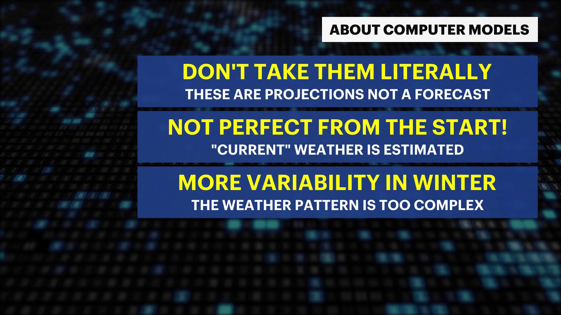
You can expect some snow on Saturday, but this storm will track too far to our south and be far too week to bring any impacts we haven't seen already this season. You may have seen images of the contrary earlier this week. Sometimes snapshots of computer models projecting massive storms go viral, but computer models should never be taken literally.
The “weather models”
Meteorologists use these computer generated weather projections to help aid with forecasting, but the internet will take a single extreme (and unlikely) outcome and present it as a 50/50 chance of happening.
Model guidance is designed to be a forecasting aid and shouldn't be taken as the truth more than a few days out. They aren't perfect from the start. Computer models begin by generating an estimate of the current weather conditions because there aren’t enough observations or computing power in the world to accurately depict what’s happening across the planet "right now". The model projections become obscure as it calculates the weather days into the future. This is especially true in the winter because our weather changes more frequently so there are a lot more variables at play. The most popular computer models, the GFS (sometimes called the American model), and ECMWF (known as the European model) update their projections every 6 hours.

Did the weather models project a big storm?
At the start of the week, a few of the GFS projections showed a massive snowstorm for the northeast, but not all of them! Actually, the majority of the projections from the GFS showed a minor storm. Additionally, the ECMWF showed no snow for us at all! But all it takes is one “fantasy” model run for social media to start posting it in a frenzy.
Why you can trust us.
Meteorologists, like us at News 12 and the National Weather Service, are experts in identifying when the models are correct and when they aren’t telling the whole story. The News12 Storm Watch team has decades of local forecasting knowledge. We can identify the little details that make your neighborhood more or less likely to be impacted by a storm. Most importantly, we are invested in our community. There is no value for us to hype up a storm that doesn’t exist. When a real storm is on the horizon, that’s when we are there to walk you through the details.
Can the models be correct?
They absolutely can! Many times we use them on air, but at our discretion. Short range models, which only forecast 3 days into the future can be a good guideline on most days. You will find us often pointing out issues with the models on-air when they do arise. During less chaotic weather patterns, longer-range models like the GFS and ECMWF can give a good idea of what’s ahead 2 weeks into the future. But this is simply an idea or a suggestion, and not the full truth. We know the difference.
So what’s going to happen?
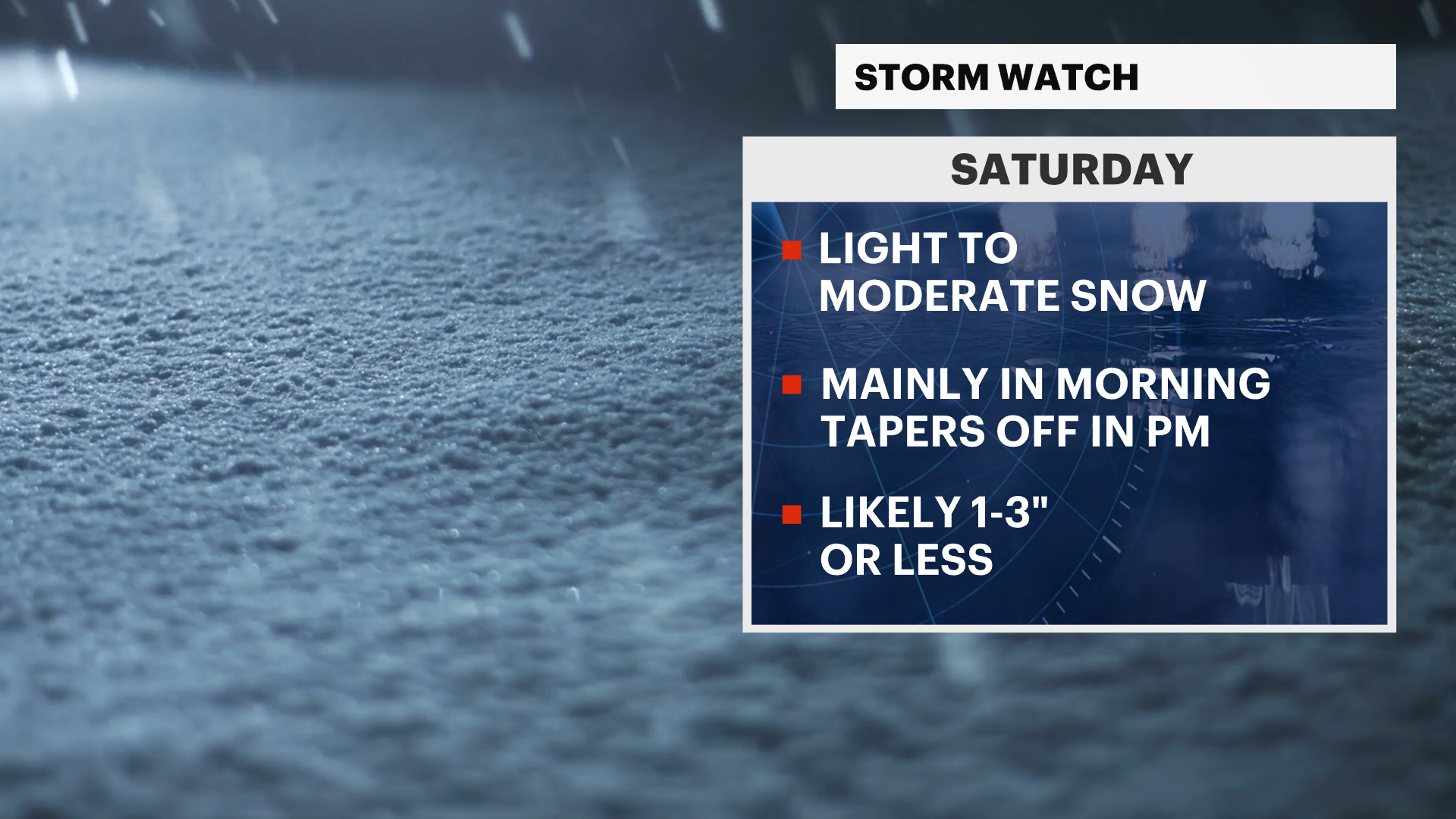
As of Wednesday, all the computer model guidance is in line that Saturday’s snowstorm will bring minor to moderate impact. Just like on Monday, this storm will pass to the south, but could give us a glancing blow with snow accumulations possible Saturday late morning through the afternoon.

Snow totals will be under 6 inches across the tri-state and are most likely be, at the most, in the 1-3 inch range with bigger snow bursts.
Stay tuned to News 12 because a shift in the storm’s track to the north could bring more snow. Even in that scenario, this storm is too weak to bring “blizzard” conditions.


