STORM WATCH

Nor’easter brings heavy rain, strong winds and coastal flooding to New Jersey

News12 New York
N12 Originals
Numbers & Links
Local
Crime
Weather
Politics
Toll of Commuting
Rain
58°
Local
Crime
Weather
Politics
Toll of Commuting

STORM WATCH: Powerful nor'easter continues to batter New Jersey with heavy rain, high winds and tidal flooding

The coast braces for more rounds of dangerous high tides, substantial beach erosion and possible power outages overnight and into Sunday.

Leanne Byer

and

Michele Powers

•

Sep 26, 2026, 10:11 PM

•

Updated

Share:

More Stories

Newark Information

Newark Information

Newark, New Jersey • Climate data: Newark Liberty International Airport (EWR)
Updating...
🌅
Sunrise
--
Newark
🌇
Sunset
--
Newark
☀️
UV Index Today
--
Loading...
🌙
Moon Phase
--
Tonight
🍃
Air Quality
--
Loading...
🌡️
Average High / Low
-- / --
1991-2020 Normals
EWR Climate
🏆
Record High / Low
-- / --
Loading...
EWR Climate
Loading latest Newark information...

Check coastal alerts and tide information

WHAT TO EXPECT:

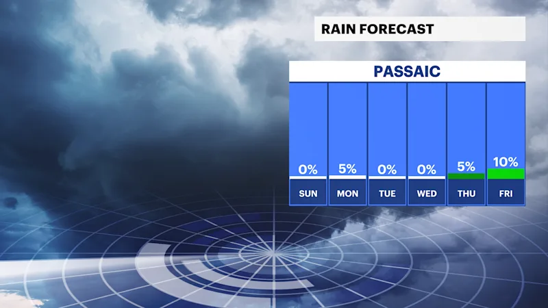
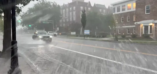
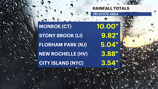
Rainfall & Flash Flooding: Rain will be widespread across the state. Inland areas can expect up to 3" to 5" of rain, while coastal regions could see 2" to 4."

Parts of Northern and Central New Jersey may also see downpours based on the storm's latest track as of Saturday evening's forecast, with the I-78 and I-195 corridors also under the threat of 3" to 5" of rain.

Flash flooding remains a major concern, particularly east of the Garden State Parkway and across the coastal plain but also will have to watch certain areas of Northern and Central New Jersey through Monday.

Waves of rain will be widespread across the state. Inland areas can expect up to 2" to 4" of rain, while coastal regions may see a little less based on the current thinking of where the storm tracks. Flash flooding remains a concern.

leanne1 (3).png

Coastal Flooding: Tidal flooding will worsen with Saturday evening's high tide and into Sunday morning. The exact severity depends heavily on wind direction. Coastal flood warnings will stay in effect through the first part of Sunday.

leanne2 (1).png

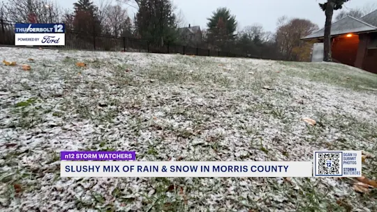
Beach erosion: The constant wave action over the last few days has already eaten away at parts of the Jersey shoreline. Sand displacement and damage to dunes could continue.

Winds & power outages: Coastal areas will endure sustained winds around 30 mph, with gusts reaching 55 mph. Isolated higher gusts are possible closer to the beaches. Inland regions will see winds near 25 mph, with gusts up to 40 mph. Scattered power outages are likely.

nj_2.png
H_Totals2.png


Timing & impact windows:

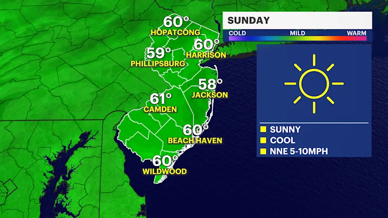
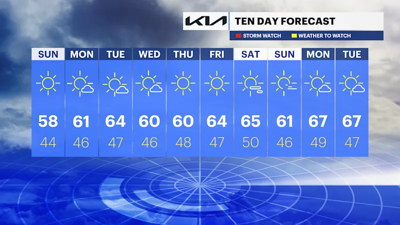
Sunday: Expect rounds of heavy rain bands, flash flooding, coastal flooding and strong wind.

leanne5.png

Sunday night: Conditions slightly improve with the winds lowering, but the rain sticks around.

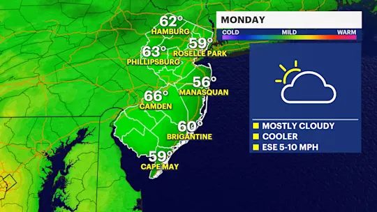
Monday: A final wave of rain looks to move through during the morning hours before eventually moving out of the area.

Peak Hazards: Beach erosion will be continuous throughout the storm, while coastal flooding will peak during high tide cycles.

FUTURECAST:

TIDES:

New Jersey Tides

Barnegat Inlet, NJ [8533615]

Today’s Tides

Time Tide Height
Loading tides...

Tomorrow’s Tides

Time Tide Height
Loading tides...

Recent Data

🌊

Water Level: Loading...
Next Tide: Loading...

🌡️

Water Temp: Loading...
Air Temp: Loading...
Barometric Pressure: Loading...

Data comes from NOAA CO-OPS. Tide heights are in feet above MLLW. Some stations may not report all recent observations.

More From News12

App StoreGoogle Play Store

info

Newsletter

Send Photos/Videos

Contact

About Us

News Team

News 12 New York

follow us

Twitter

Facebook

Instagram

more resources

Optimum Corporate

Optimum Service

Advertise on News 12

Careers

Content Removal Policy

© 2026 N12N, LLC

Privacy Policy

Terms of Service

Ad Choices