Newark Information
☀️
UV Index Today
--
Loading...
🍃
Air Quality
--
Loading...
🌡️
Average High / Low
-- / --
1991-2020 Normals
EWR Climate
🏆
Record High / Low
-- / --
Loading...
EWR Climate
Loading latest Newark information...
Check coastal alerts and tide information
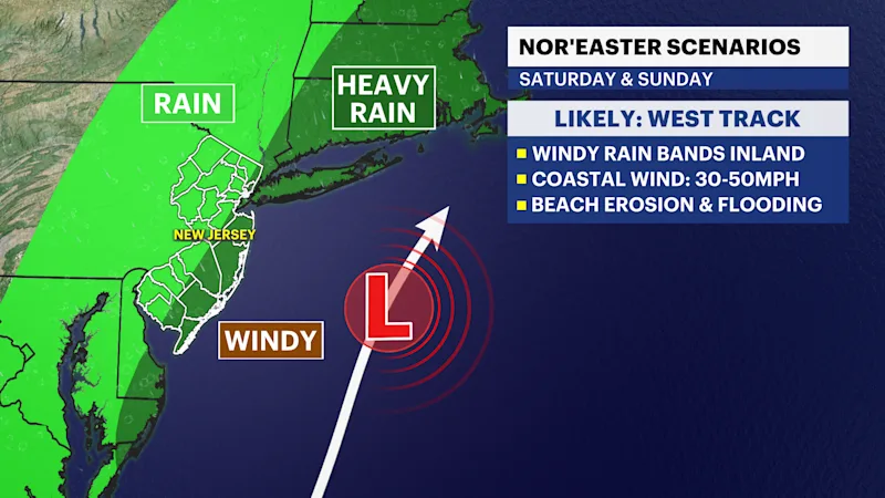
The track for the upcoming nor'easter has shifted closer to the coast, bringing a heightened risk of significant weather impacts. Coastal flooding, beach erosion, and localized flash flooding from heavy rain are becoming increasingly likely.
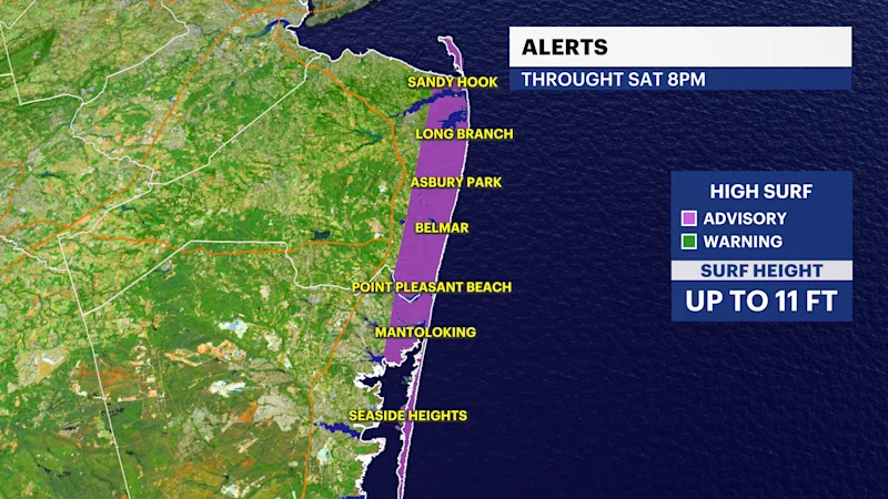
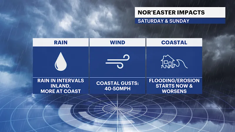
Coastal areas will see the worst of the storm. Conditions are already degrading, but the primary impacts will hit Friday evening and intensify through Saturday morning. Coastal flooding will remain a threat across high tide cycles Friday through Sunday, accompanied by breaking waves up to 11 feet and severe beach erosion. This prompts a High Surf Advisory for coastal New Jersey. Wind gusts along the coast could top 45 to 50 mph through Sunday morning.
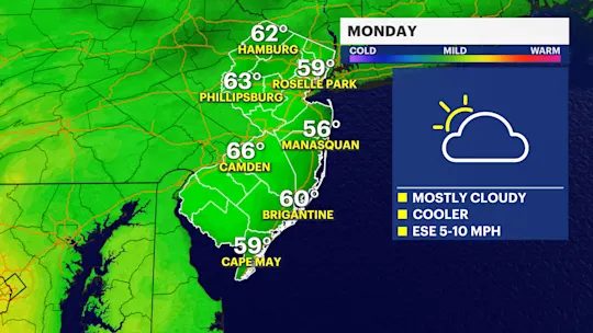
By contrast, inland areas will experience milder impacts starting Saturday afternoon and evening, consisting primarily of a cloudy, breezy day with periods of rain. Heavy rainfall will remain concentrated near the coast from Saturday into Sunday, with conditions finally clearing up heading into Monday.
FUTURECAST:
TIDES: