STORM WATCH: Tornado watch issued until 9 p.m. for western Connecticut
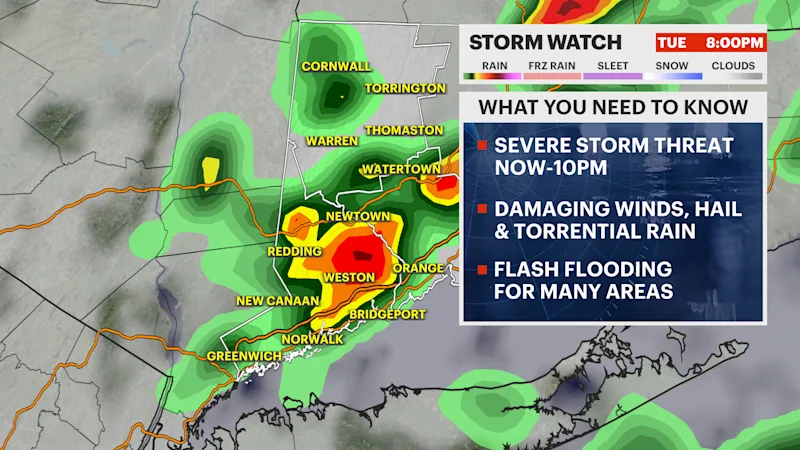
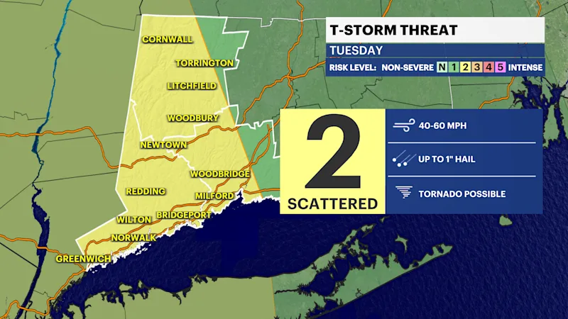
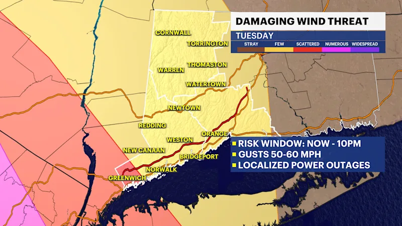
Stay weather aware. More damaging winds, hail, vivid lightning and flooding rains likely through tonight.
More Stories



ALERTS:
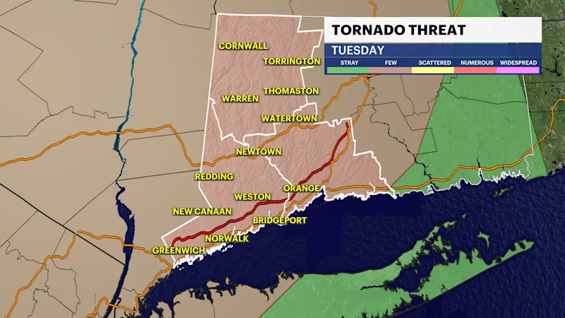
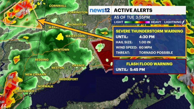
A TORNADO WATCH IS IN EFFECT for western Connecticut until 9 p.m.
FORECAST:
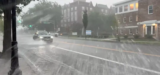
Scattered showers and storms will continue to move through from now through the evening. Some of the storms may become severe with damaging winds and flooding rains. Avoid flood-prone areas. Never drive through flooded roadways. Turn around-don't drown.
Keep an eye to the sky for threatening weather through 10 p.m. The activity should wind down around midnight.
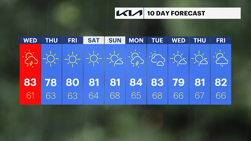
The front will be slow to move off the coast Wednesday. This means that more storms are possible in the afternoon and evening. The severe threat doesn't look as high or as widespread as today. The afternoon will feature a mix of sun and clouds. Storms will be spotty and some could become strong.
The end of the week will be spectacular with plenty of sun, comfortable levels of humidity and pleasant temperatures.