Passing storms are possible tonight. Flooding is a concern for Wednesday morning
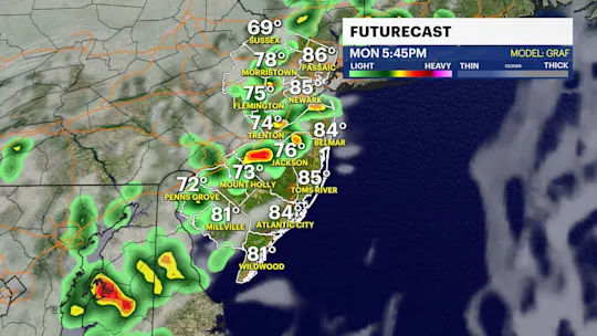
The conditions for extremely severe weather is waning Tuesday night. It is still possible any one storm could contain hail and damaging winds. More rain could mean more flooding for parts of the region.
More Stories
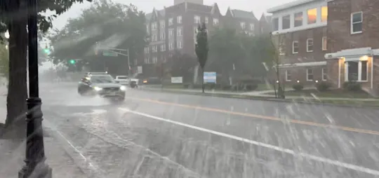


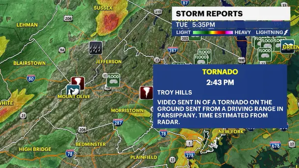
The severe weather that ripped through the state early Tuesday afternoon produced New Jersey's first two tornadoes of the year. No injuries were reported from this batch of serious weather. The number of outages from Tuesday afternoon's storms wasn't higher than expected.
There could be a few lingering storms cruising across the state Tuesday night as a cold front approaches from western Pennsylvania. The severe threat subsides after 9 p.m. There could be numerous lightning strikes and loud grumbles of thunder.
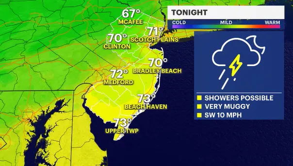
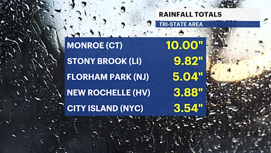
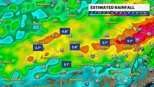
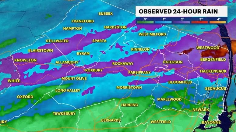
Any more rain on Tuesday night could lead to more serious flooding. New Jersey has not seen a month's worth or more of rain since Saturday in a lot of neighborhoods. The ground just can't accommodate any more. So when it rains, it will not be absorbed into the ground very effectively. Most of that water will find its way from the curb to the middle of the road very quickly.
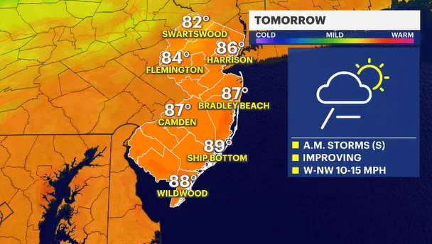
Wednesday looks to be a better weather day. The News 12 Storm Watch Team will keep an eye on a final line of convection moving through around or just after daybreak. This will be the final push by the cold front. Usually, this type of weather kicks up a line of strong storms. Most guidance is backing away from a stormy solution as of Tuesday night, but a front is still a front.