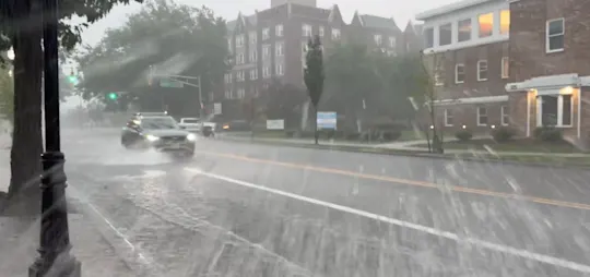
STORM WATCH: Gusty thunderstorms Friday lead to significant weekend temperature plunge in the Hudson Valley
Morning rain followed by a warm, sunny break in the afternoon will help fuel strong-to-severe thunderstorms in the evening.
More Stories




White Plains Information

FORECAST
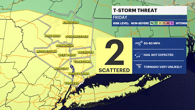
Significant weather changes are ahead. Strong to severe thunderstorms are possible Friday, with warmer weather followed quickly by the coldest air of the season over the weekend.
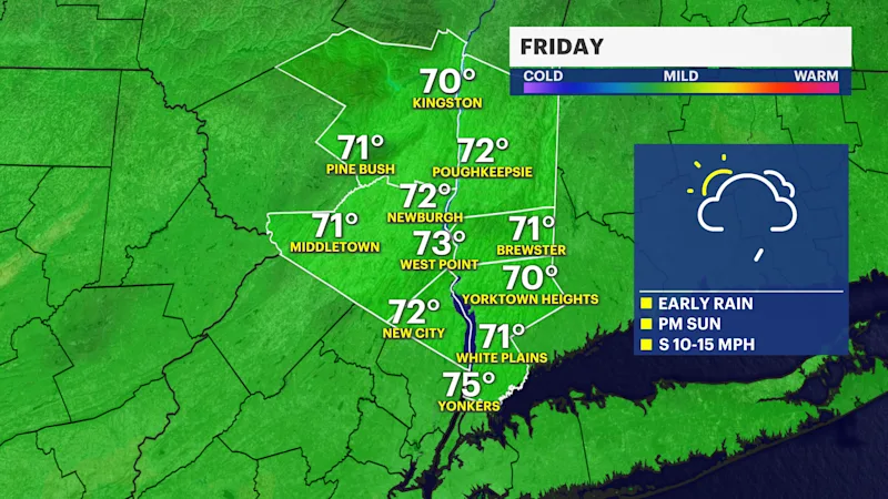
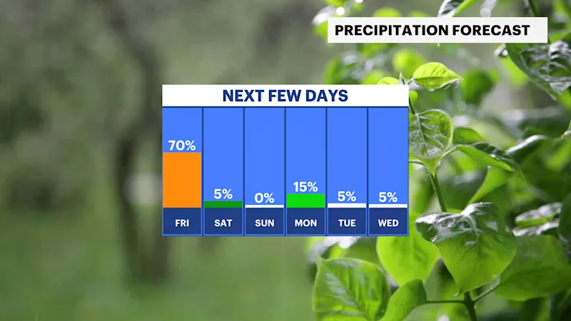
There will be two rounds of rain and storms moving through the borough on Friday. One will hit in the morning and the second will come later in the day after a round of warm, windy and sunny skies in the afternoon. That added heat during the day will work as fuel for the storms coming our way in the evening. Both commutes could be impacted by some rain tomorrow - so stay weather aware and prepare now.
A strong cold front will move through later in the day. Out ahead of it will be warm, gusty winds coming out of the southwest. Temperatures will start off in the 50s in the morning and then rise up into the 70s for the afternoon. Morning scattered showers will give way to a nicer afternoon, but don't let your guard down because after 5 p.m. or 6 p.m., storms will approach from the west.
It's this round of storms that could have damaging winds and some storms could be severe.
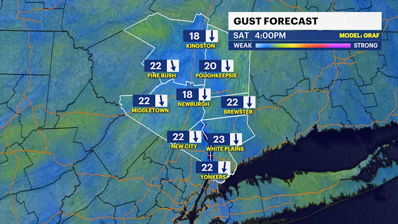
Behind this front lies the coldest air of the season, along with very cold wind chills for Saturday. Temperatures over the weekend will struggle to warm up to the mid-50s. Winds on Saturday night into Sunday morning will bring wind chills to the 20s and 30s.
Stay with your News 12 team of meteorologists for any updates.