STORM WATCH: Tracking a line of strong storms headed toward NJ for Wednesday
Damaging winds will be the primary threat with gusts of 60 mph or more. A tornado also can develop.
More Stories


A nasty line of weather is expected to hit New Jersey Wednesday afternoon and evening. Damaging winds, hail and lightning are likely. There is also the possibility of enough rotation for an isolated tornado.
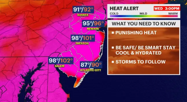
The National Weather Service has also issued a heat advisory for Wednesday. It is expected that by 10 a.m. or 11 a.m., it will issue a severe thunderstorm watch.
MORE: News 12 New Jersey Weather Center
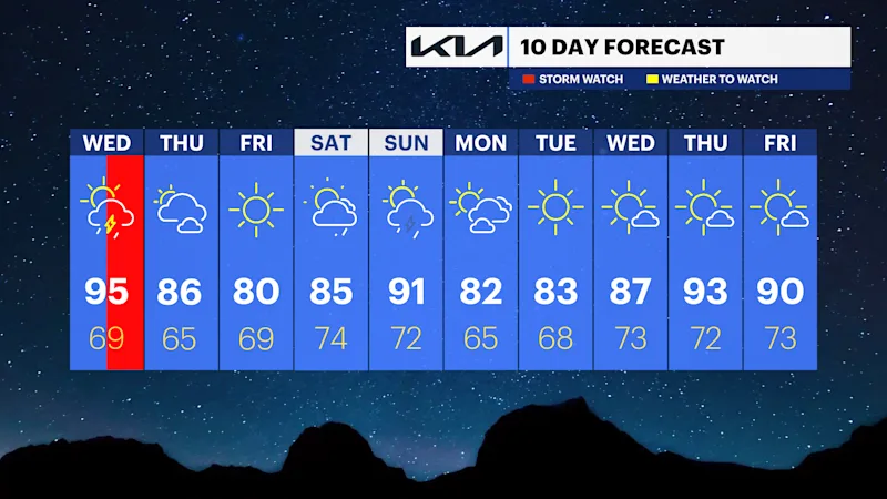
TONIGHT: Building mugginess this evening as surface winds steer uncomfortable Carolina air back toward the state. Temperatures will climb into the 90s again tomorrow.
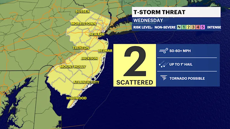
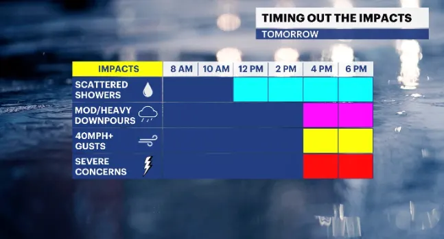
WEDNESDAY: Moist air will smother the state. It is going to feel more like 100 – 105 degrees. This will help fuel dangerous weather moving in our direction. Severe weather is likely to rear after 3 p.m. Wednesday and will last until around 9 p.m.
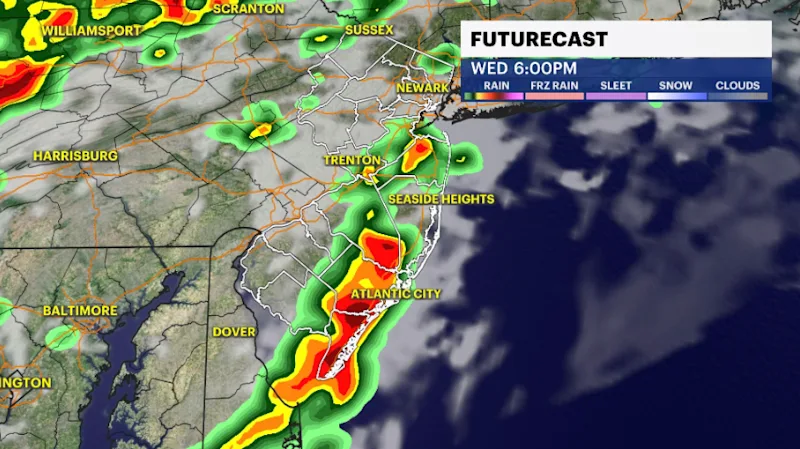
SEVERE STORMS: Damaging winds will be the primary threat with gusts of 60 mph or more. There will be hail, drenching downpours, lightning and in a worst-case scenario a tornado could spin up in this atmospheric environment.
Please take any and all warnings seriously when they are issued. If a tornado were to develop, it would be wrapped in rain and very hard to see.