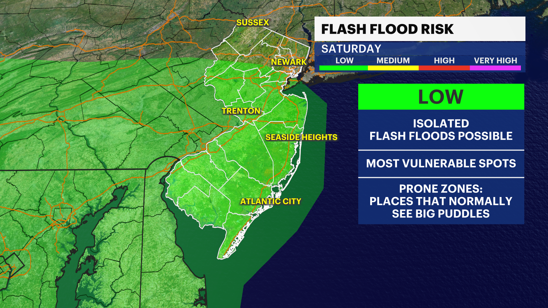
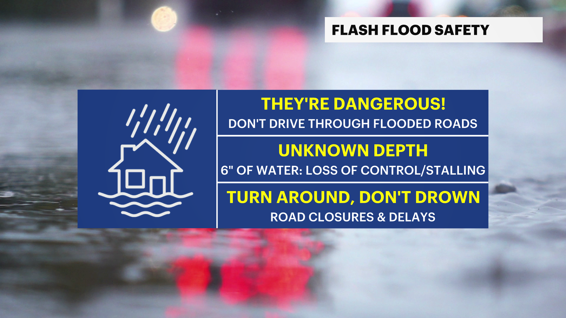
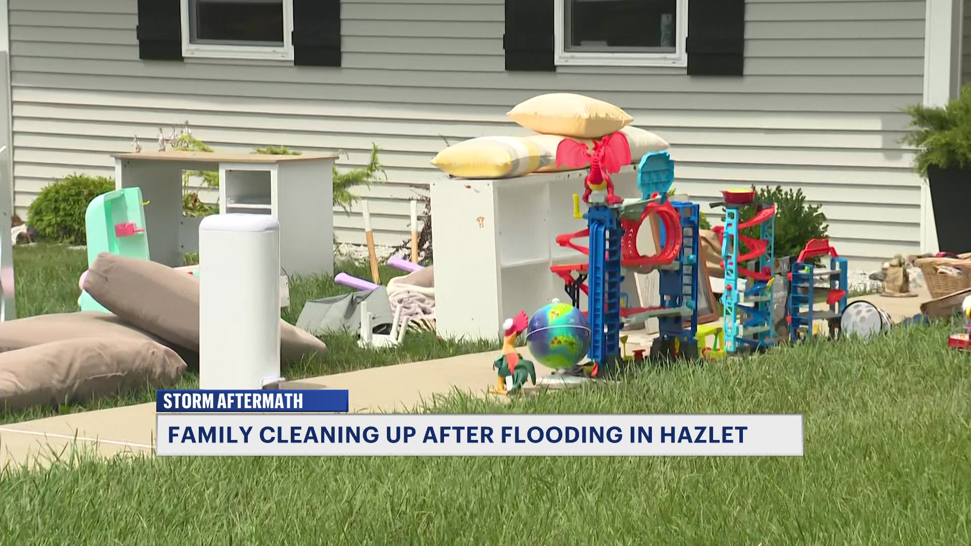
Downpours may lead to areas of flash flooding before dry weather settles in
While not everyone will get hit by rain today, but those that will, may deal with a couple inches in just hours.
More Stories

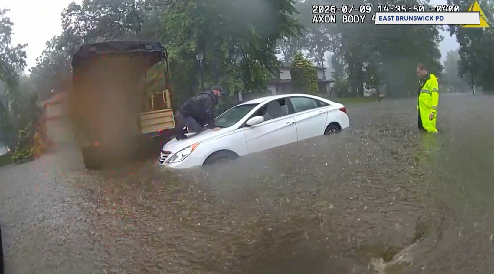


Rounds of showers and thunderstorms are developing along a weather feature that is slowly lagging through the region. The weather environment favors abundant low-level moisture, and with the lack of much of a steering mechanism, the storms should move slowly. This allows any storm to pose a flash flood threat.
The first half of today looks to be cloudy, humid and showery with the passage of this last weather feature for a while. 9am to 4pm would be the time to watch for some isolated downpours and flooding concerns locally.
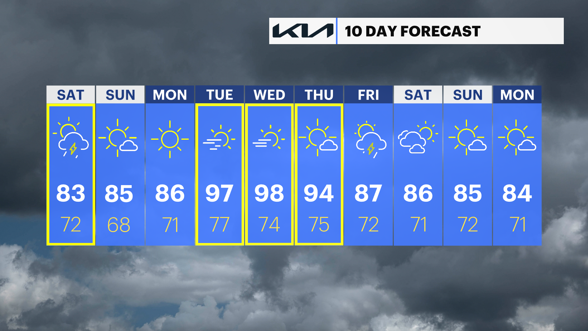
Sunday looks fantastic. Mainly sunny, warmer and noticeably less humid air will carry us through the rest of the weekend and early next week. By the middle of the work week, it looks as if another dome of heat will be building. The feels-like forecast will likely be back up into the mid- to upper 90s.