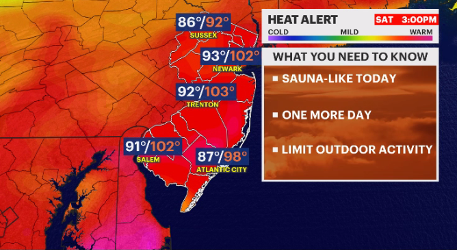
Dangerous heat sticks around into Saturday; tracking potential storms
Storm Watch Team meteorologists are also tracking potentially stormy weather for Saturday as well.
More Stories


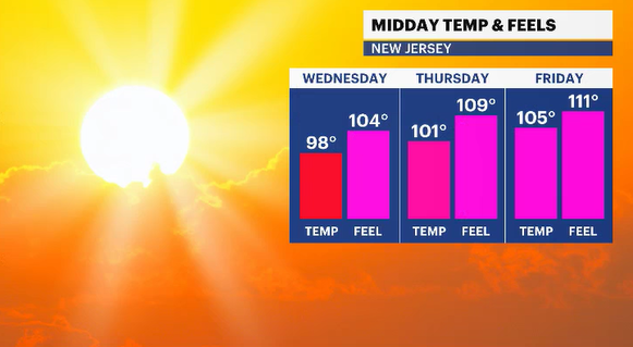
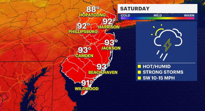
New Jersey will continue to see dangerously warm temperatures on Saturday, with daytime highs in the 90s.
Storm Watch Team meteorologists are also tracking potentially stormy weather for Saturday as well.
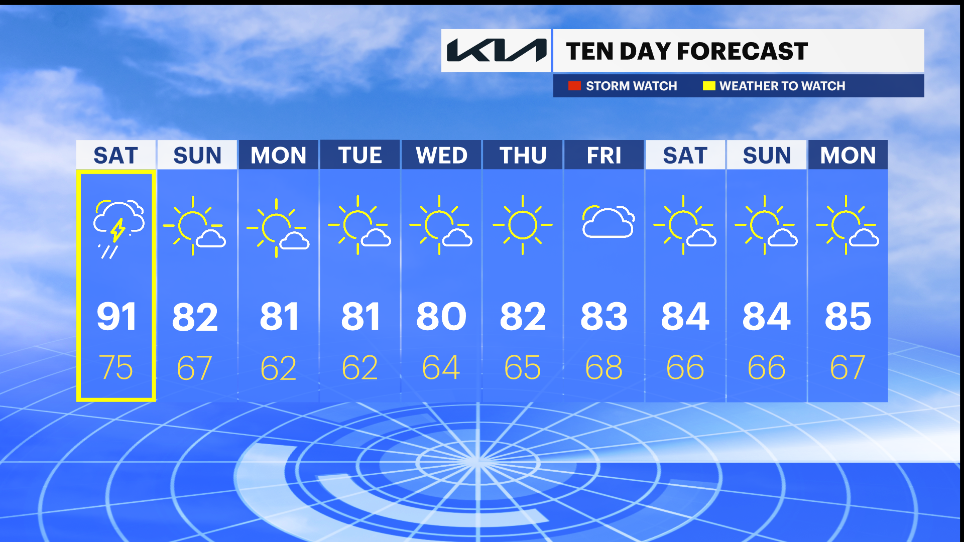
WHAT’S NEXT: Hazy, hot and humid weather will continue Saturday. Thunderstorms are also expected. The heat breaks by Sunday with daytime highs cooling to around 81 degrees.
MORE: News 12's local forecast report
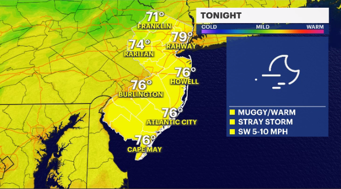
OVERNIGHT: Potential for isolated thunderstorm developing late. Overnight lows in the upper-70s.
SATURDAY: Scattered thunderstorms in the morning becoming more widespread in the afternoon. There is the potential for the storms to become severe. Daytime highs around 91 degrees. Overnight lows around 75.

Watch below for this weekend’s beach forecast:
SUNDAY: Mostly sunny with some clouds. Heat wave ends. Daytime highs around 82 degrees. Overnight lows around 67.
MONDAY: Plenty of sunshine. Daytime highs around 81. Overnight lows around 62.
COMING UP: Sunshine remains for most of the upcoming week. Daytime highs in the 80s. Some clouds expected by Friday.