

Today’s Tides
Loading date...| Time | Tide | Height |
|---|---|---|
| Loading tides... | ||
Tomorrow’s Tides
Loading date...| Time | Tide | Height |
|---|---|---|
| Loading tides... | ||
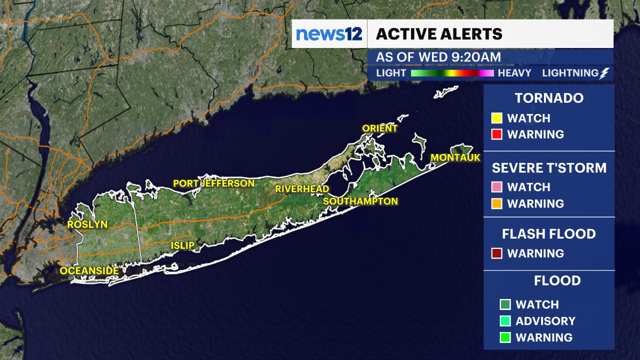
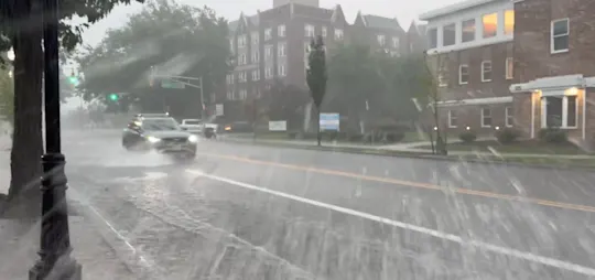
Heavy rainfall is moving out Nassau and continuing to move through Suffolk. Earlier waterspouts prompted brief tornado warnings between 6:30 pm and 7:00 pm in southwestern Nassau near Lawrence and Island Park. The National Weather Service is reviewing one of these for whether or not it became a tornado after coming on land. There will be an official update for Friday on their findings.
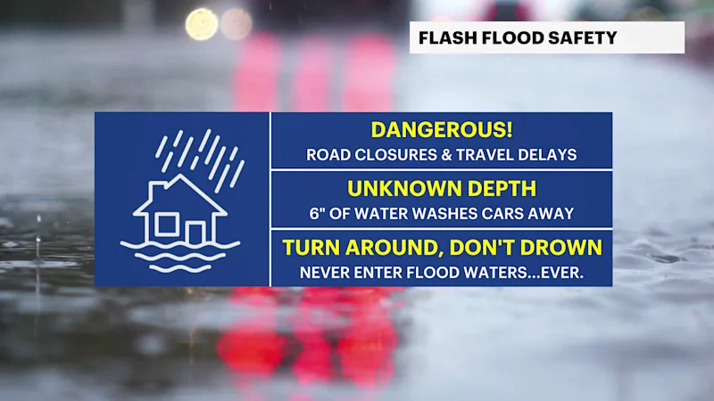
While the worst of the rain has moved out of Nassau and into Suffolk, showers could persist into early parts of Friday. Once we finally start to see the rain ending, it will clear out from west to east. Flash flood concerns could linger even after heavy rainfall has stopped. Keep an eye out for ponding and large puddles on your commute to work Friday morning.
Here is a look at the latest future radar for Long Island showing the timing of the moderate-to-heavy rain impacting Long Island into early Friday.
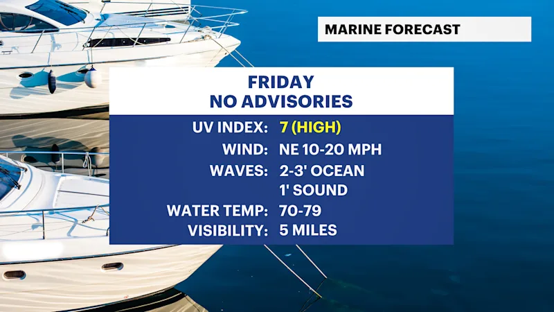
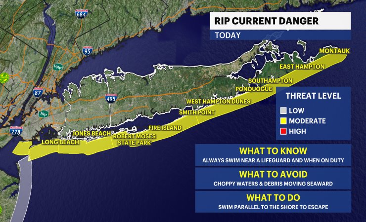
Boating and heading to the beach will be dangerous this evening with heavy rain and a few thunderstorms around. Please avoid these activities tonight. Anyone heading to the beach anytime should check the latest rip current statements before getting in the water. Check out more of the local beach weather forecast and tides here.
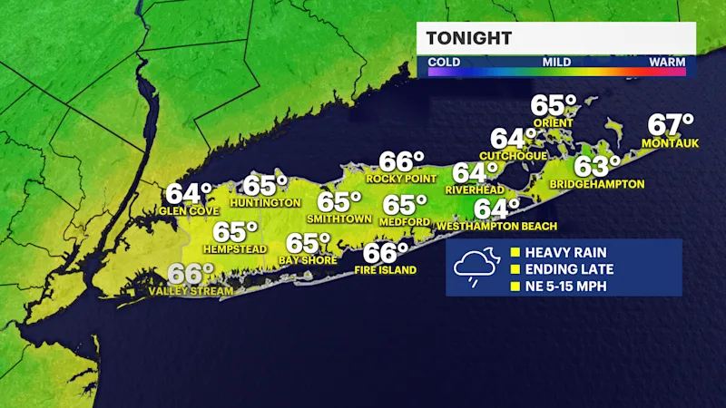
TONIGHT: STORM WATCH -- Flooding possible from periods of torrential rain. The worst rain will begin to taper off to more scattered areas of rain from west to east, but a few downpours will linger over especially eastern Suffolk County overnight and into early Friday. Please use caution when traveling. Lows near the mid-60s.
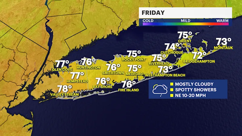
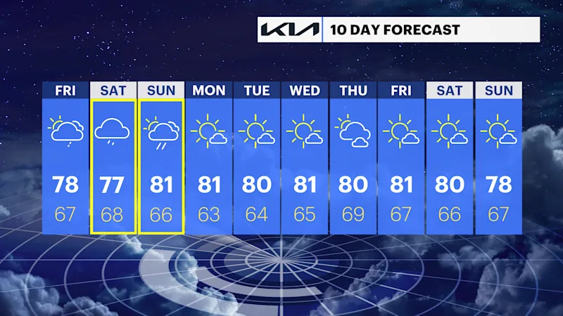
FRIDAY: Partly sunny to mostly cloudy with a chance for a few spotty showers. Highs around 78. Lows near 67.
SATURDAY: Mostly cloudy with periods of rain likely, tapering off into the evening and night. Highs around 77. Lows near 68.
SUNDAY: Clouds with a few breaks of sun. Scattered showers and a thunderstorm possible. The timing of any weekend wet weather will become clearer over the next couple of days. Highs around 81. Lows near 66.
MONDAY: Mostly sunny. Highs around 81 degrees. Lows near 63 degrees.
TUESDAY: Mostly sunny. Highs around 80 degrees. Lows near 64 degrees.
WEDNESDAY: Mainly sunny. Highs around 81 degrees. Lows near 65 degrees.
THURSDAY: Partly sunny. Highs around 80 degrees. Lows near 69 degrees.