New Jersey braces for a soaking start to the workweek
Showers and thunderstorms become widespread Sunday night, with Monday expected to bring periods of heavy rain.
More Stories




Clouds continue to increase through Sunday as the next storm system approaches. While much of the day will be dry, a few showers and thunderstorms may develop late in the afternoon before becoming more widespread Sunday night.
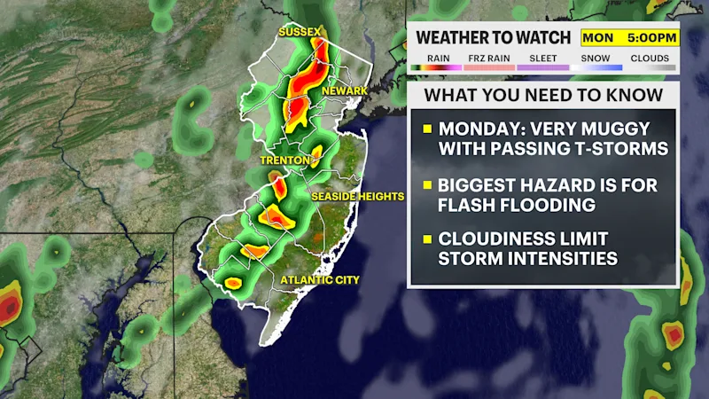
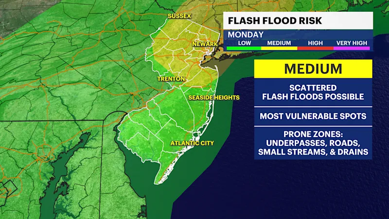
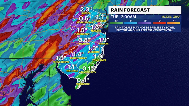
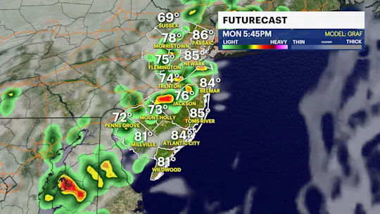
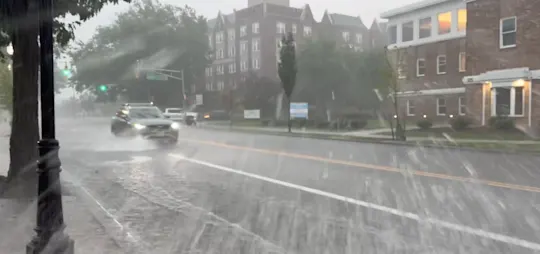
Monday is the day to watch. Periods of showers and thunderstorms are expected throughout the day, making for a wet start to the workweek. Heavy downpours, frequent lightning and ponding on roadways will be possible at times, so be prepared for slower travel and changing conditions if you have outdoor plans.
The weather improves somewhat Tuesday with only an isolated afternoon shower possible, but the atmosphere remains unsettled through the rest of the week. Additional rounds of afternoon and evening showers and thunderstorms are possible Wednesday through Saturday as warm, humid air remains in place.
Sunday: Mostly cloudy with a chance of late-day showers and thunderstorms. Highs in the low to mid-80s.
Monday: Showers and thunderstorms likely throughout the day. Highs in the low to mid-80s.
Tuesday: Partly sunny with a slight chance of an afternoon shower. Highs in the mid-80s.
Wednesday: Partly sunny with scattered afternoon and evening showers and thunderstorms. Highs in the mid-80s.
Thursday: Mostly sunny with a chance of afternoon and evening showers and thunderstorms. Highs in the upper 80s.
Friday: Mostly sunny with scattered afternoon and evening showers and thunderstorms. Highs in the upper 80s.
Saturday: Mostly sunny with a chance of a passing shower. Highs in the upper 80s.