STORM WATCH: Flood threat continues as multiple rounds of rain impact the Hudson Valley
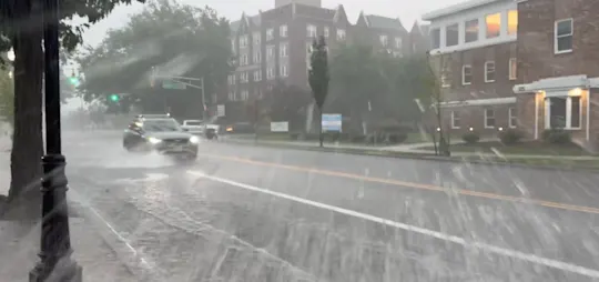
Continuing this afternoon, several rounds of showers and thunderstorms will bring periods of heavy rain, widespread flooding concerns, and unsettled conditions through Thursday.
More Stories



WHAT YOU NEED TO KNOW:
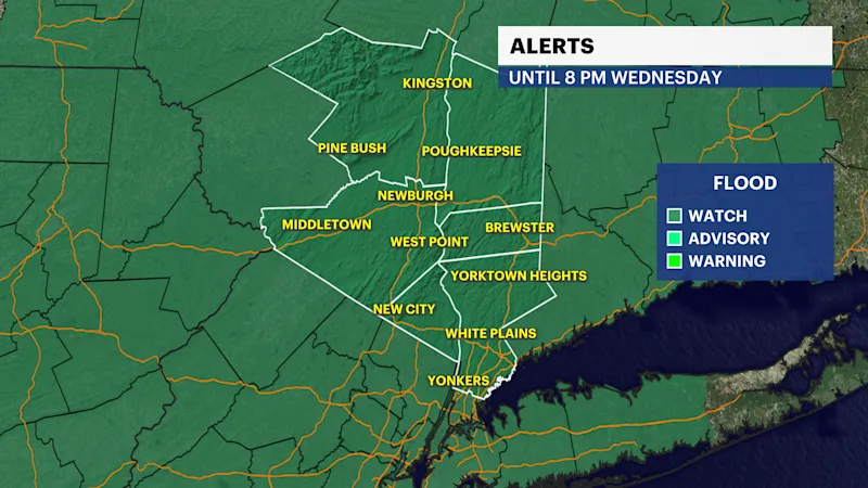
Flood Watch in effect until 8 p.m. Wednesday
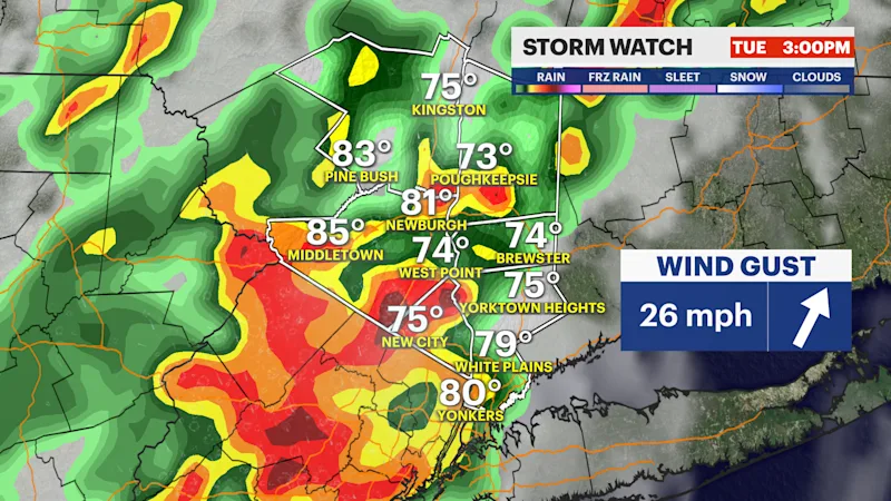
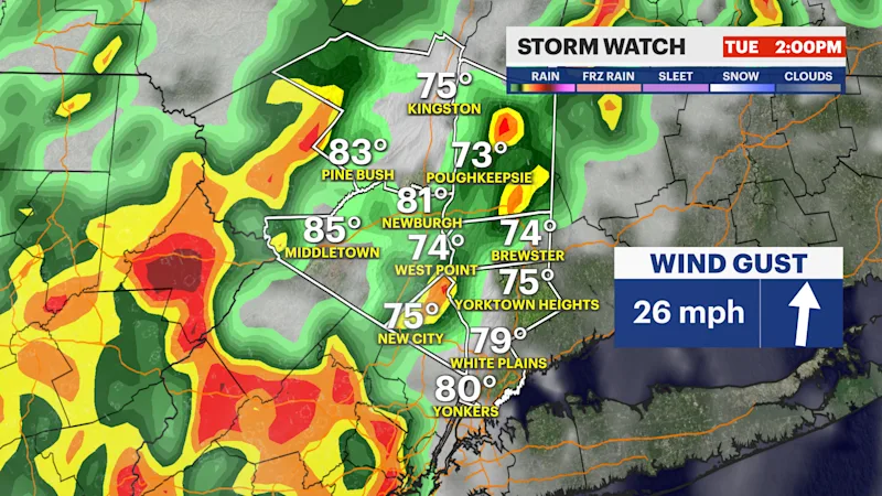
A line of thunderstorms and heavy rain expected from 2 p.m. Through 7 p.m. Today.
No severe weather risk today.
High risk for numerous areas to be impacted by flash flooding Today.
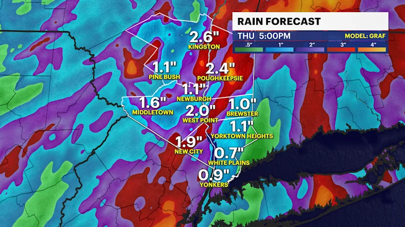
More disorganized heavy rain on Wednesday and Thursday. Flash flood risk becomes localized on Wednesday.
Improvements on Friday.
Forecast:
Today, the morning commute will have no issues for the most part. However, by the afternoon, the weather pattern is expected to amp up, bringing a line of slow-moving storms, heavy rainfall, and thunderstorms embedded with wind gusts reaching up to 30 mph. The wind-driven storms will create hazardous travel conditions right around the start of the evening commute and through rush hour. The heaviest and most concerning of the rain is expected to clear out by 7 p.m. This evening, but a few more rounds of heavy rain are still possible through the night.
Most of the lower Hudson Valley is under a high risk of seeing numerous flash flooding events this afternoon and evening. Rockland County especially, after areas like Nanuet flooded just yesterday evening. Within the line of storms, 1" to 2" of rainfall rates are expected, with locally higher than 2" of rain falling per hour. These flooding downpours will be widespread, which is why the entire region is under the watch and listed as high risk.
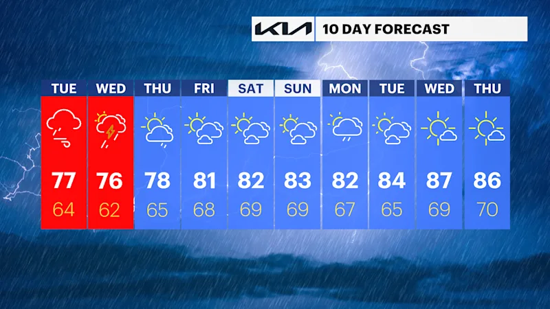
This unsettled pattern unfortunately will not end by Wednesday. Although it will slightly improve. By Wednesday, another mainly dry morning commute is expected, but in the afternoon and evening, another round of heavy rain is expected, where these downpours could produce more localized flooding around the region. Thursday still has storm chances in the forecast, but this is even more scattered and isolated, leading to the threat of flooding being low.
Looking ahead to the end of the week and the weekend. Improvements arrive on Friday, and an area of high pressure will build across the region. This will create another very nice weekend for the Hudson Valley, where it will be mainly sunny, with a few clouds, dry, and seasonable temperatures.