Light showers overnight before sunny skies on Sunday in New Jersey
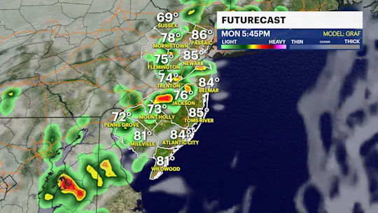
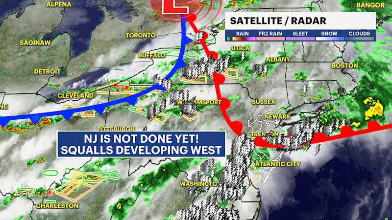
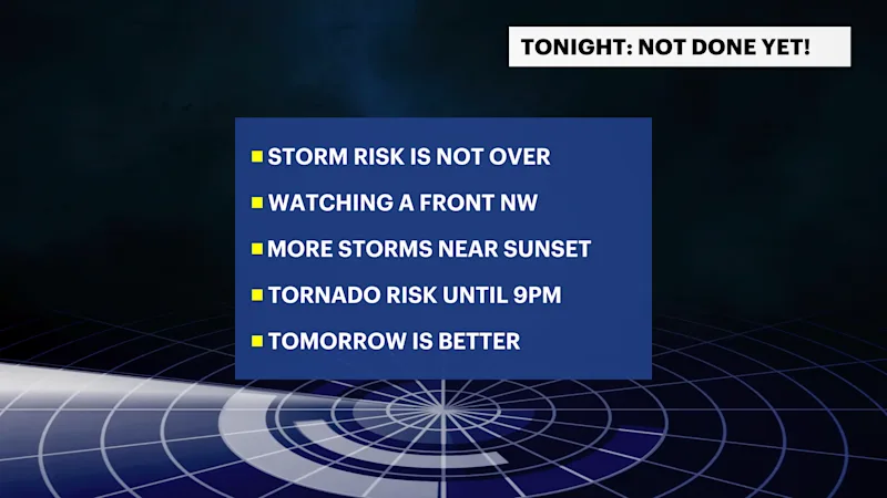
Flash flooding, damaging winds and a tornado threat remain for this evening.
More Stories


Tornado Watch for New Jersey has been canceled. Storms are still expected this evening, but there are lower energy levels in the atmosphere that would limit the extent of severe storms through tonight. Some storms will linger for the next few hours before they dwindle off by midnight. Lightning is still expected and some strong gusts are possible.
FORECAST
The risk of storms diminishes significantly with just lighter showers overnight.
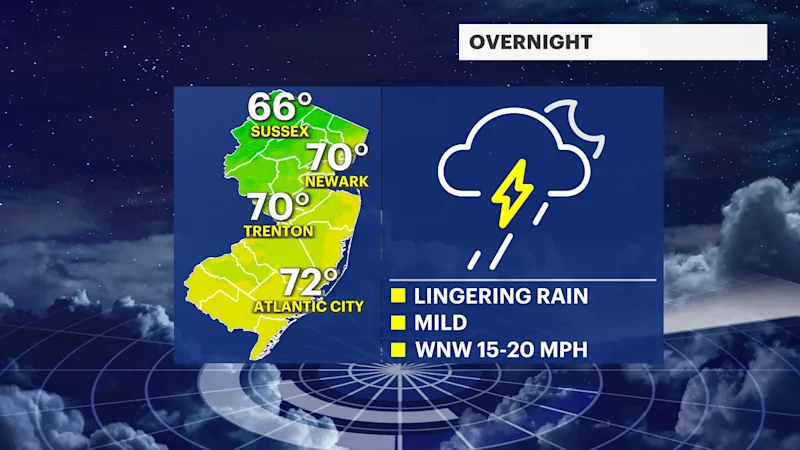
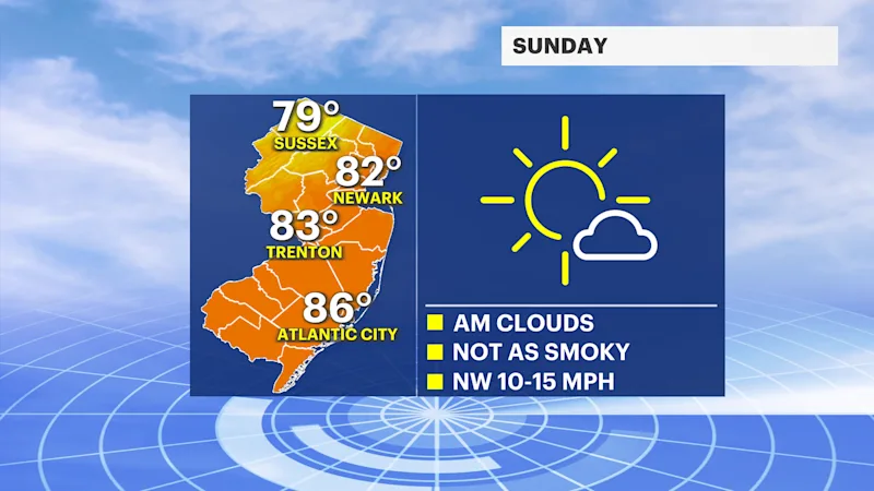
Sunday will be sunny and consist for warm temperatures. The wildfire smoke, however, continues to linger, although at a much lower concentration than days past. Temperatures will be in the low to mid-80s. The morning starts mild with a low of 70. However, Sunday night will be much cooler, with low in the low 60s.
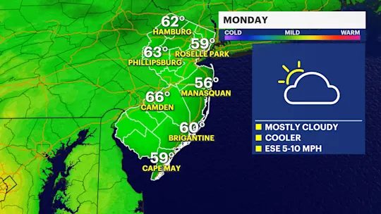
Monday starts fresh with a rebound of temperatures for the midday. Temperatures reach the mid-80s. There are no foreseeable issues as of Saturday evening's forecast. Tuesday will feature the next round of thunderstorms.