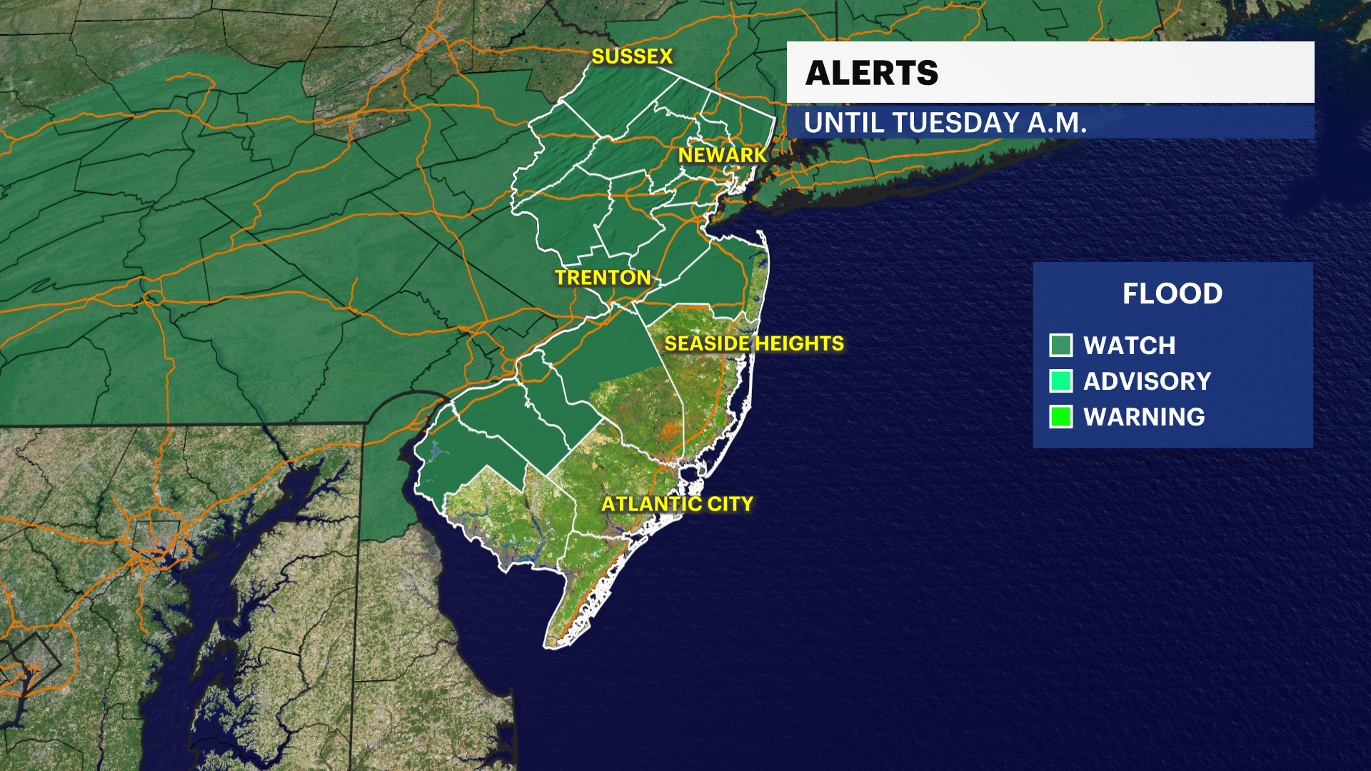
STORM WATCH: Thunderstorms to bring flash flood threat to New Jersey into Monday
Rounds of heavy storms will dump several inches of rain locally over the next 24 to 36 hours.
More Stories

WEATHER ALERT
A flash flood warning is in effect for Northwestern Burlington County and Southwestern Mercer County until 11:30 p.m. The National Weather Service says data indicated that thunderstorms are producing heavy rain across the areas. The rainfall rate is expected to be 1" to 2" in an hour. Additional rainfall amounts of 0.5" to 1.5" are possible. Expect flooding of small creeks, streams, urban areas, highways, streets and underpasses as well as other drainage and low-lying areas.
The National Weather Service urges motorists on the road to "turn around, don't drown" when encountering flooded roadways as most flood deaths occur in vehicles.
FORECAST:
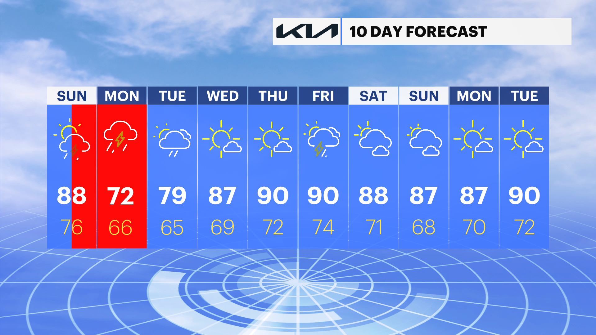
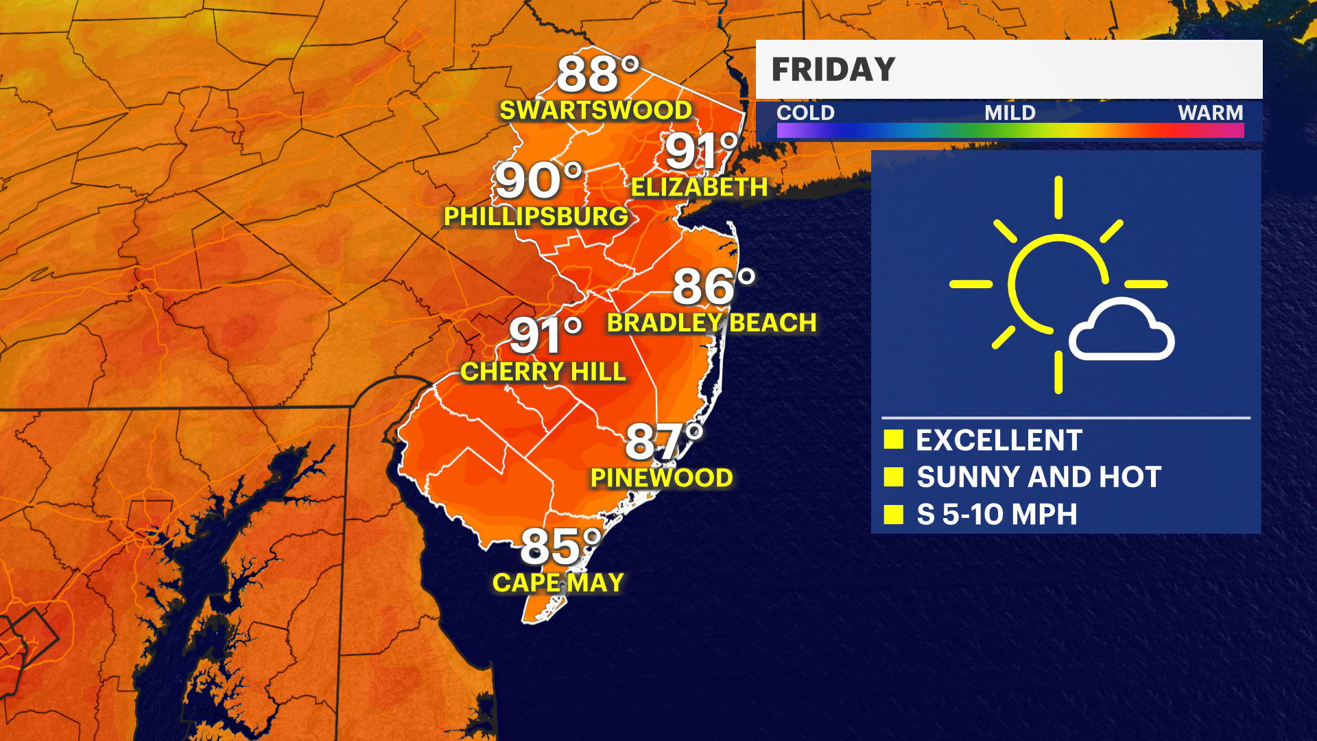
The focus shifts from hot temperatures to a growing threat of heavy rain and thunderstorms. While temperatures in the 80s on Sunday felt much more manageable than the triple-digit heat indices that New Jersey has experienced recently, it will still be warm and humid.
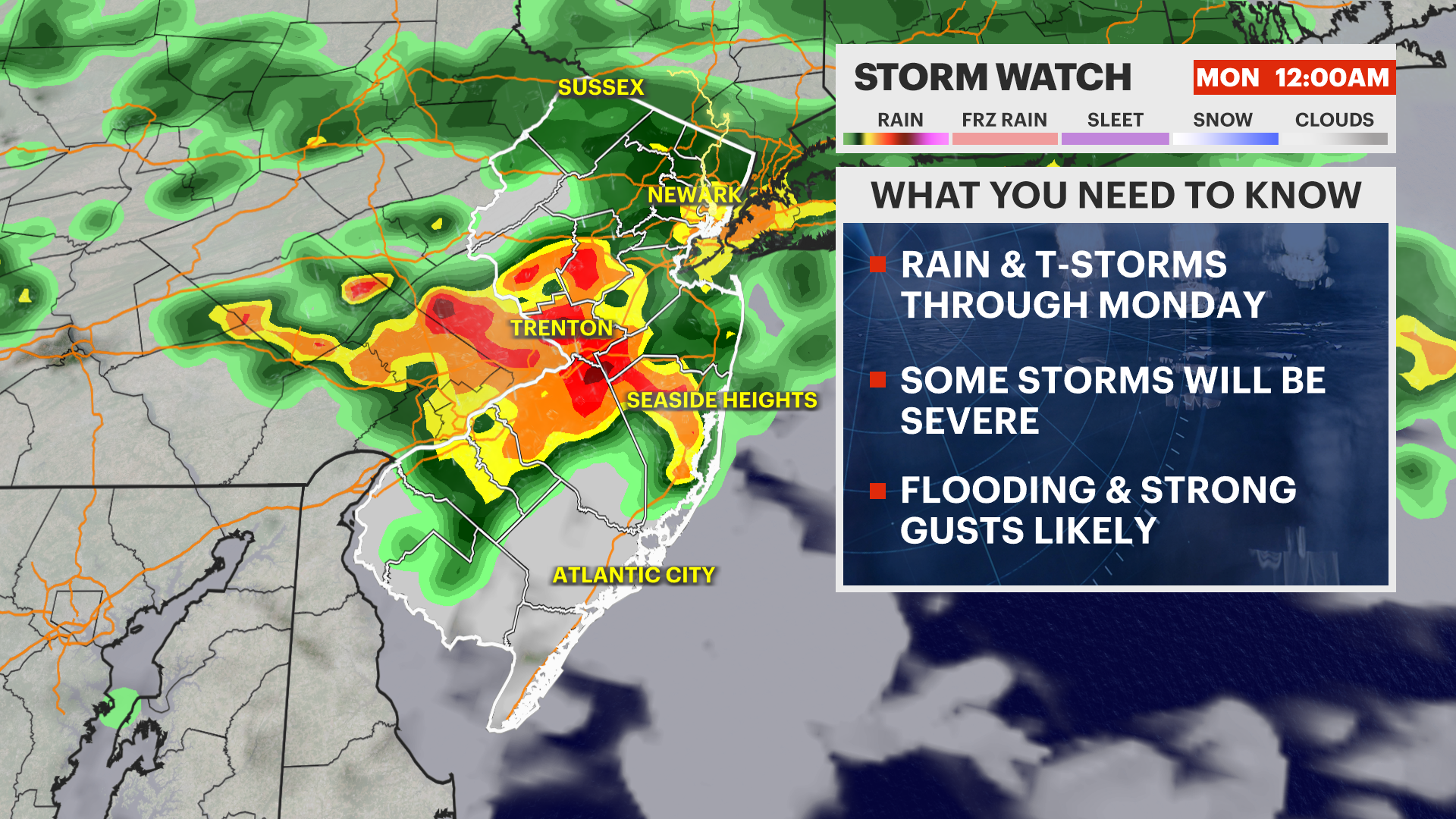
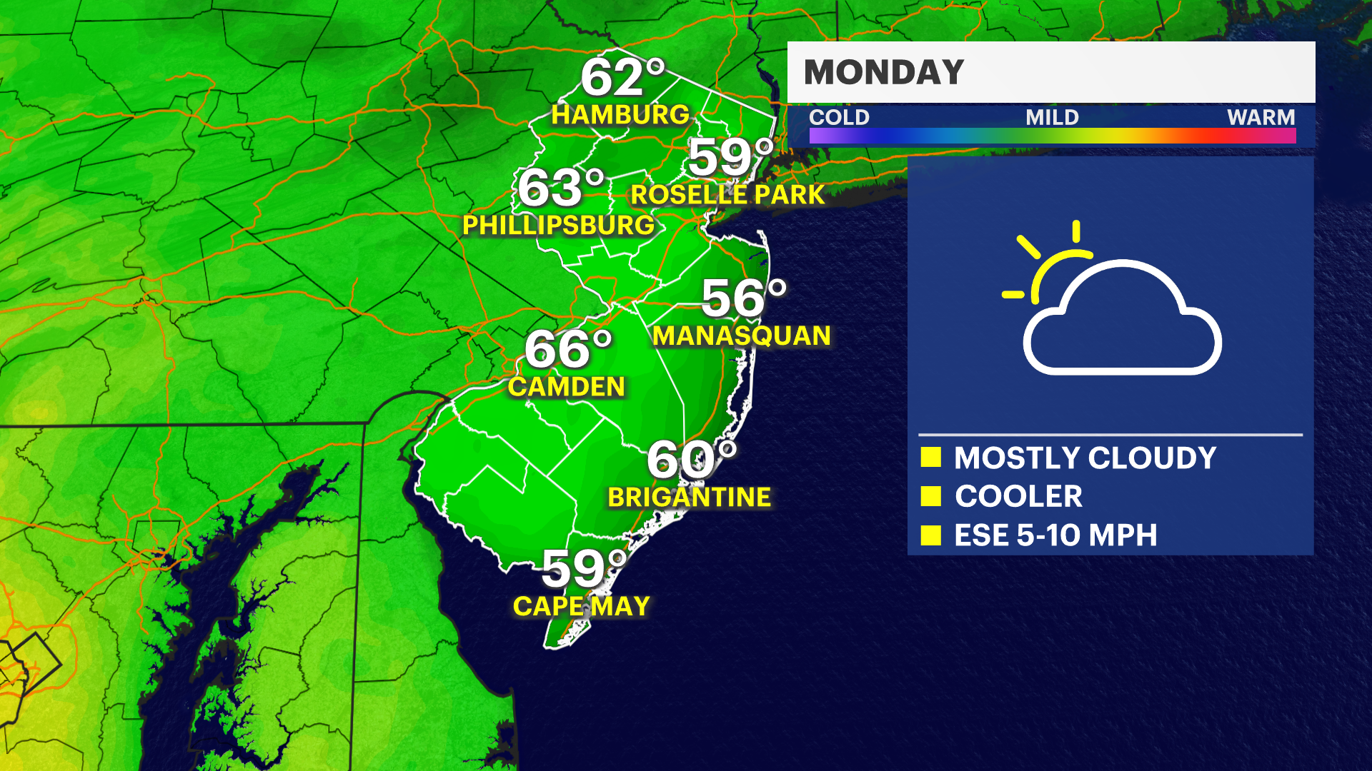
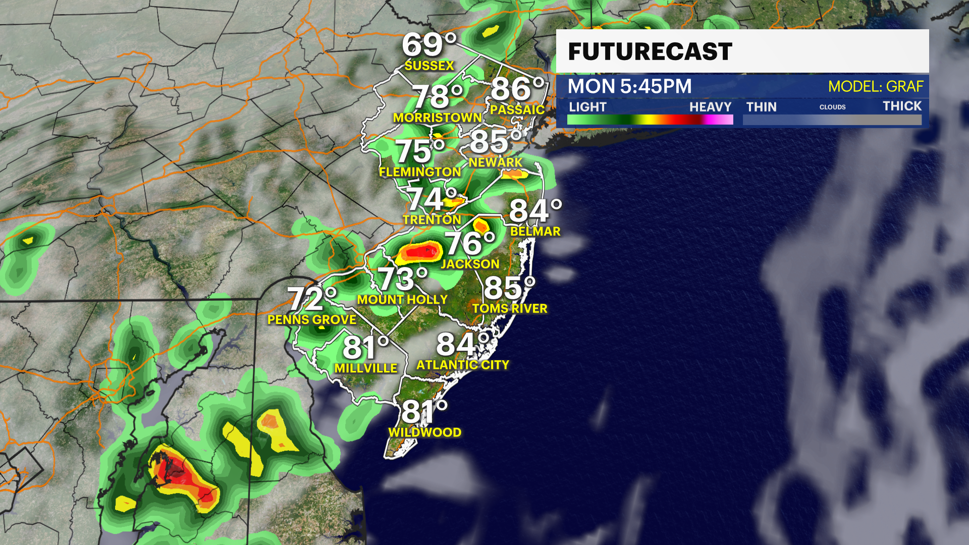
There have already seen several rounds of storms, but another round is expected to develop late this afternoon and continue through this evening. Some of the strongest storms could produce gusty to damaging winds along with torrential downpours. Monday will remain active, with numerous showers and thunderstorms developing statewide. Commuters are advised to plan for slick roads and possible delays during both the morning and evening drives.
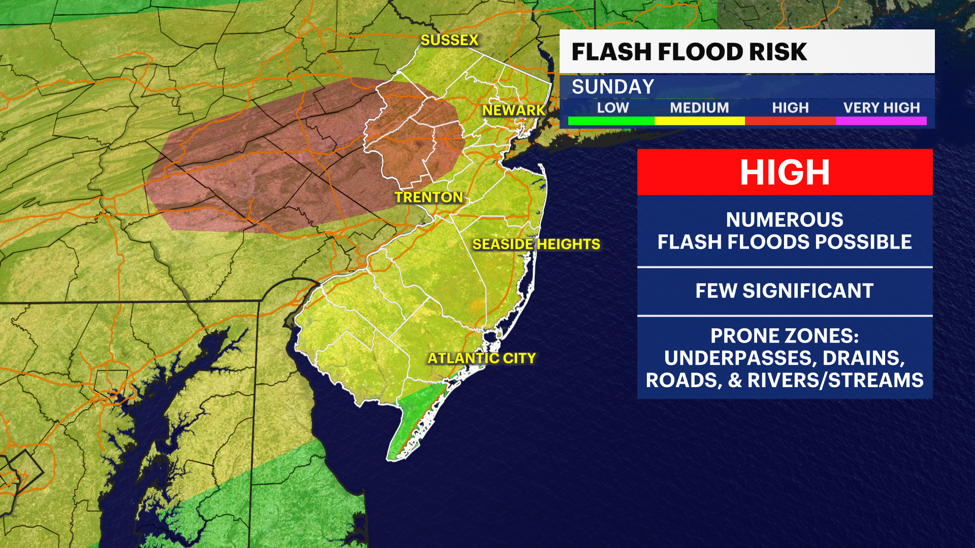
The biggest concern will be flash flooding. Storms may repeatedly track over the same areas, leading to several inches of rain falling in a short period of time. Urban locations, poor-drainage areas, and flood-prone roadways will be especially susceptible to flooding.
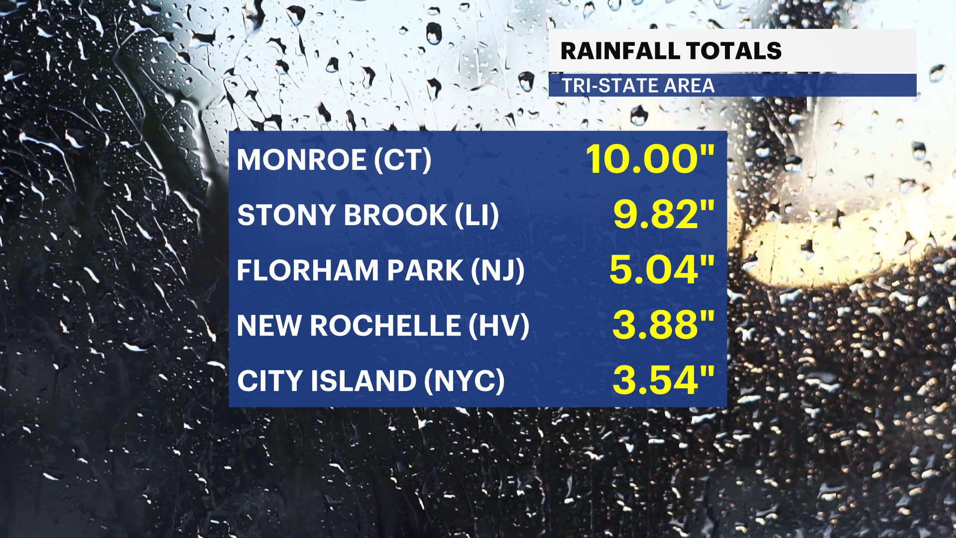
Remember: Turn around, don't drown. Never attempt to drive through flooded roadways. Just a small amount of moving water can sweep away a vehicle and create a life-threatening situation. By the time this wet pattern winds down, most of New Jersey will pick up 1" to 3" of rain, with isolated spots seeing even higher totals. The region certainly needs the rain, but some communities could end up getting too much of it all at once.
RELATED: PSE&G Power Outage Map
RELATED: JCP&L Power Outage Map