STORM WATCH: Flash flooding concerns across New Jersey on Monday
After a decent weekend, heavy rain is expected at times on Monday.
More Stories


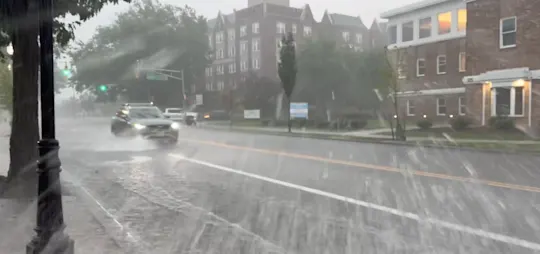


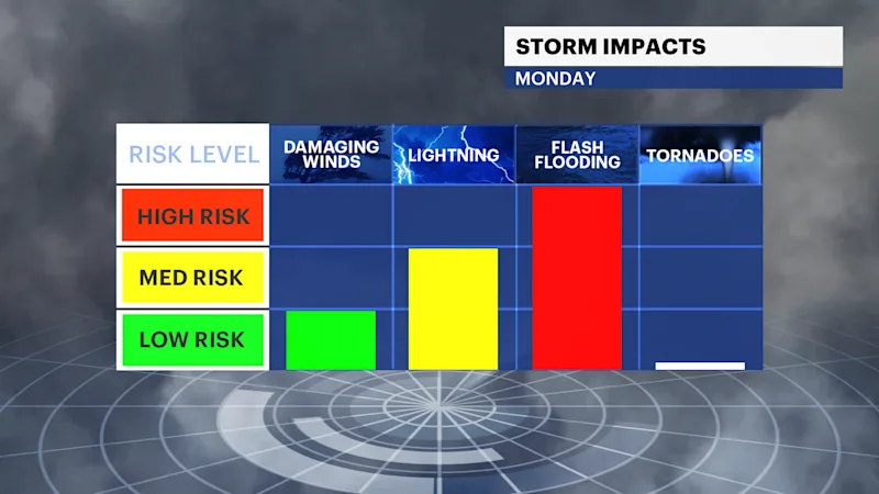
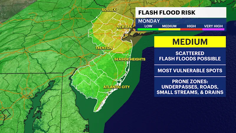
Clouds rolled in today as a storm system approaches from the west, bringing muggy, humid weather that will stretch right into Monday. The incoming front is set to dump 1-3 inches of rain across the area, raising a moderate threat for flash flooding.
FLOOD WATCH through Monday
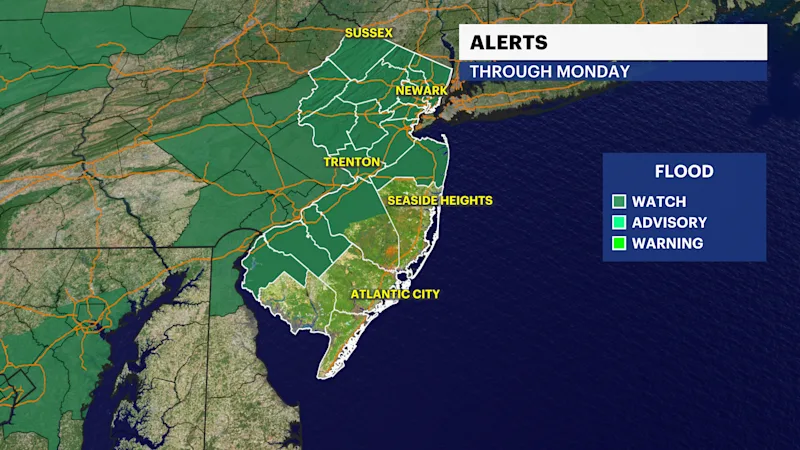
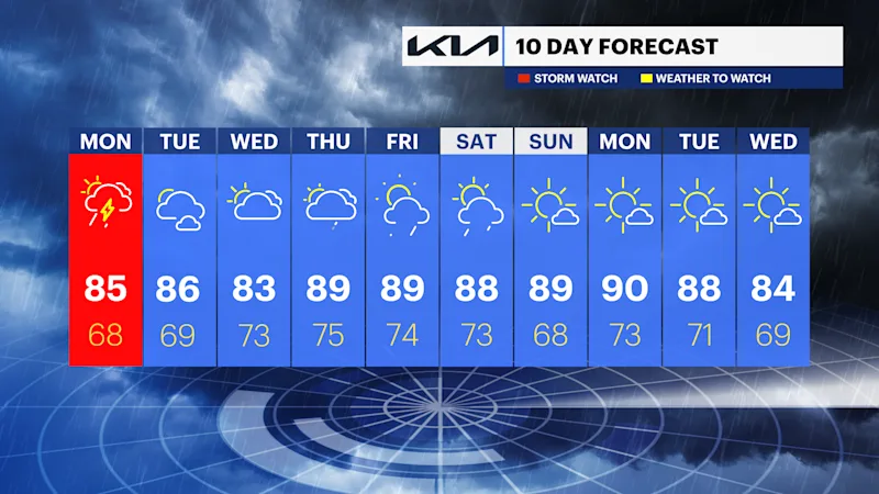
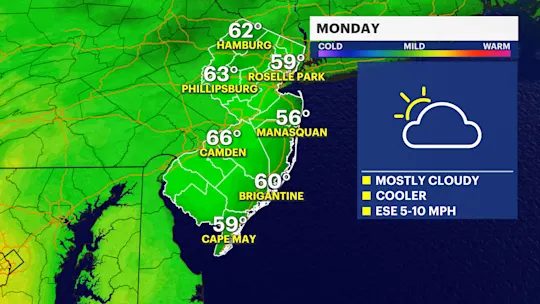
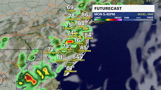
This flooding risk is especially high due to expected "training downpours" storms that track over the exact same spots back-to-back like cars on a train track. Monday’s temperatures will vary depending on where you are.
Areas that manage to catch brief breaks of sunshine will warm up fast, while places stuck under active storms will stay much cooler. Rain and storms will hang around for most of the day before conditions finally start clearing out from northwest to southeast after 5 p.m. as the front pushes offshore.
Looking ahead, Tuesday is trending much drier with mostly sunny skies and comfortable temperatures, though it'll stay a bit humid. By Wednesday evening, a fresh round of scattered thunderstorms could pop up once again.