The heat is cranked, the humidity will be smothering, and let's not forget about those drenching thunderstorms
Sultry, summer air stays stagnant over region helps to fuel waterlogged thunderstorms that could cause flooding tomorrow.
More Stories


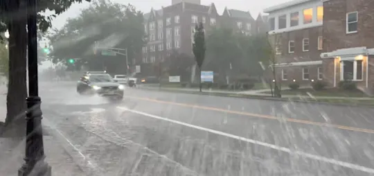

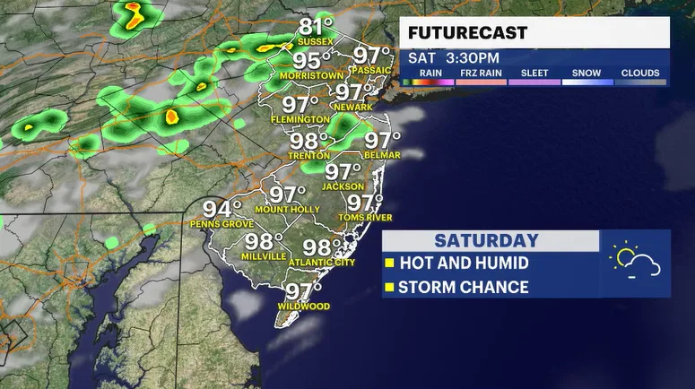
Afternoon cloud coverage and a few pop-up showers have kept temperatures from reaching their true potential today. Yet, we still made it to the low 90s. Day 1 of possibly four days where the afternoon highs reach into the nineties. The atmosphere is just teaming with moisture. It feels like we are carrying around a wet, hot blanket over our heads. This will continue too, right through most of the weekend.
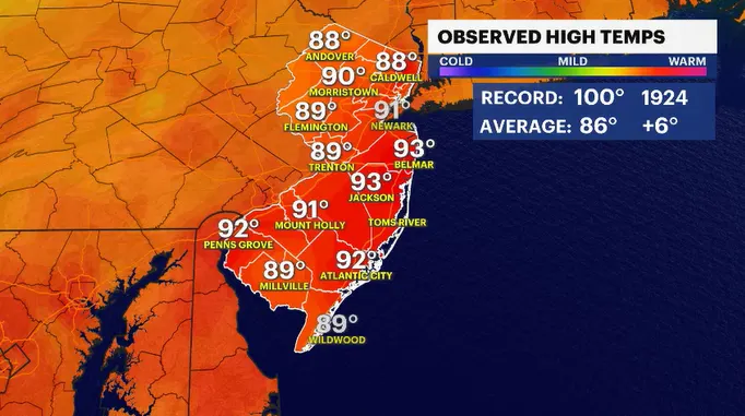
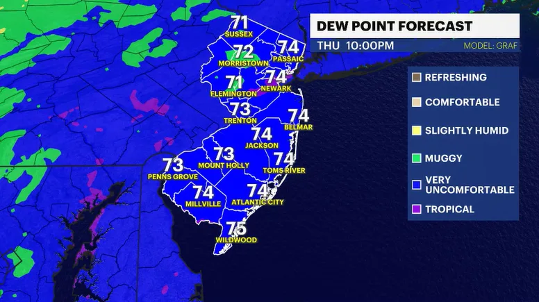
The steamy weather is a staple of the forecast for the next few days. It will not be the hottest or the most humid stretch of weather we've had this summer, but it will be uncomfortable, nonetheless. Listen to your body if you are outside for a prolonged period of time. Keep hydrated. Slow down. And do your best to cool off any way you can, whether it's air-conditioning, heading to the pool, going to the beach, or just unwinding under the shade of a tree.
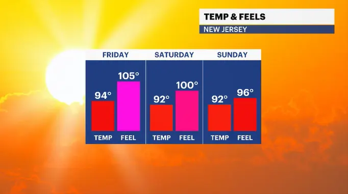
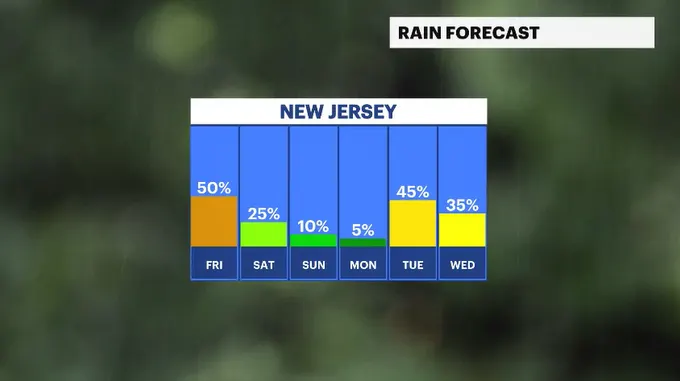
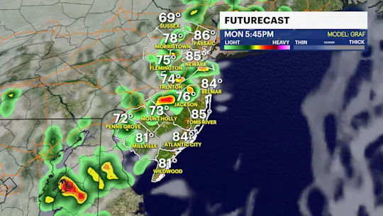
Friday looks to be the better day of the bunch to see more frequent storms developing in this unsettled, buoyant airmass. From 2 p.m. on, we need to be more vigilant about threatening-looking clouds. The primary threat with any storm tomorrow will be flooding rains. Small streams and rivers are almost to bank full. A torrential downpour along any stream or waterway could cause serious flooding.
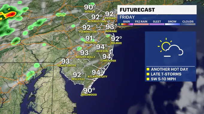
The weekend is still looking very nice. Saturday has a chance for rain in the afternoon, but more neighborhoods than not shouldn't see storms.