Weekend cold snap to shock New Jersey with fall chill; potential for heavy rain
A front expected to move through the tri-state area late Friday night and early Saturday morning will drag down chilly air, making it feel like fall has really arrived.
•
Oct 14, 2020, 10:16 AM
•
Updated 1,464 days ago
Share:
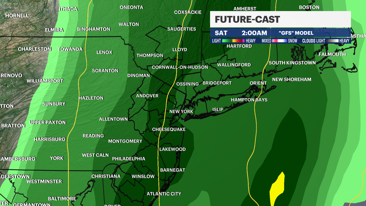
A front expected to move through the tri-state area late Friday
night and early Saturday morning will drag down chilly air, making it feel like
fall has really arrived.
News 12 New Jersey Meteorologist James Gregorio says
the area will go from temperatures Thursday in the mid-70s all the way down to
the low-40s by Sunday morning.
FORECAST DETAILS: News 12 Weather Center
The front will be accompanied by some gusty winds and possible
thunderstorms Friday night through early Saturday. Rain
showers in the morning will evolve into a steadier rain in the afternoon. There
is the potential for heavy rain. Areas impacted the most could be
New Jersey, Connecticut and parts of the Hudson Valley.
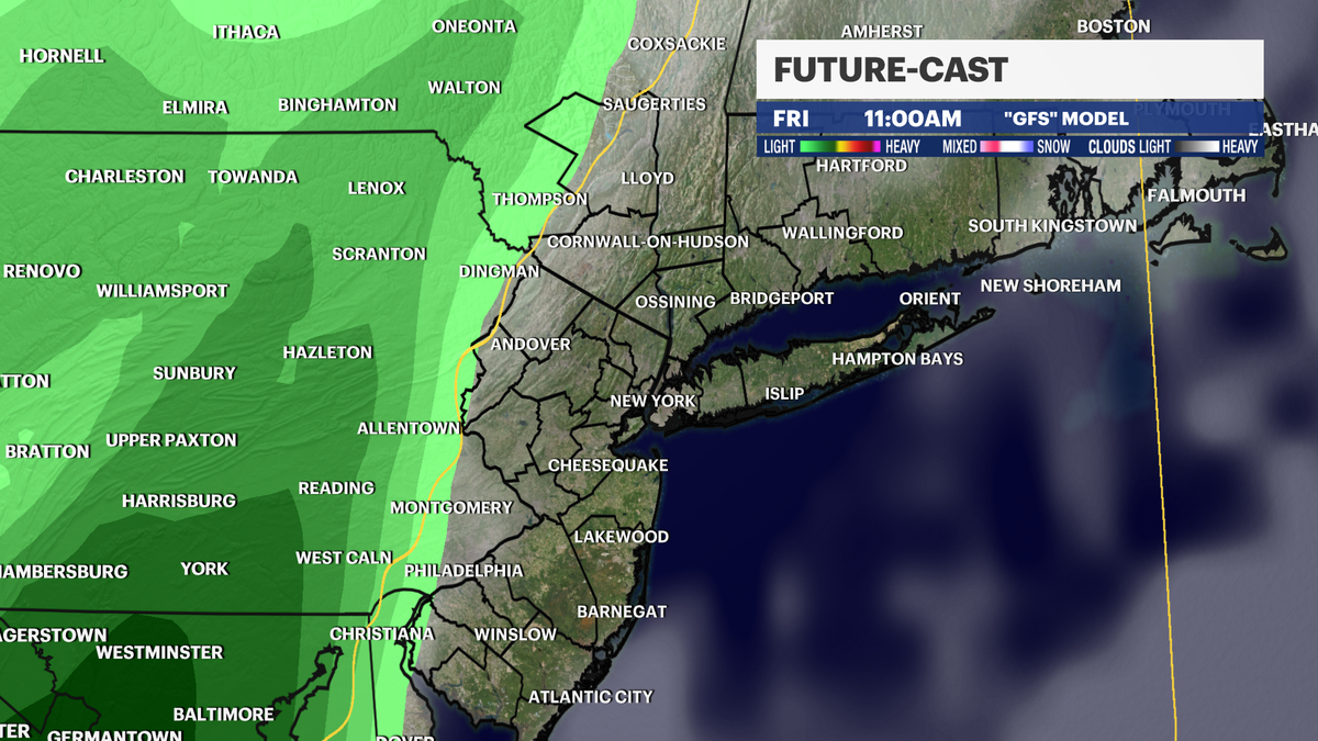
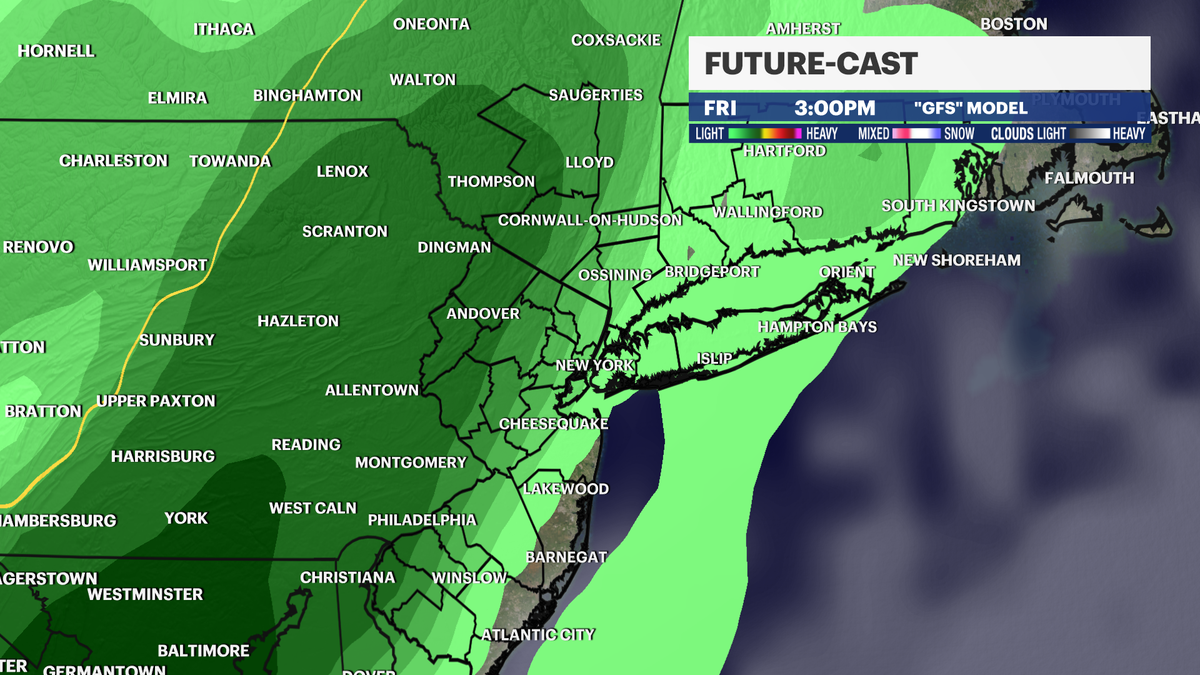
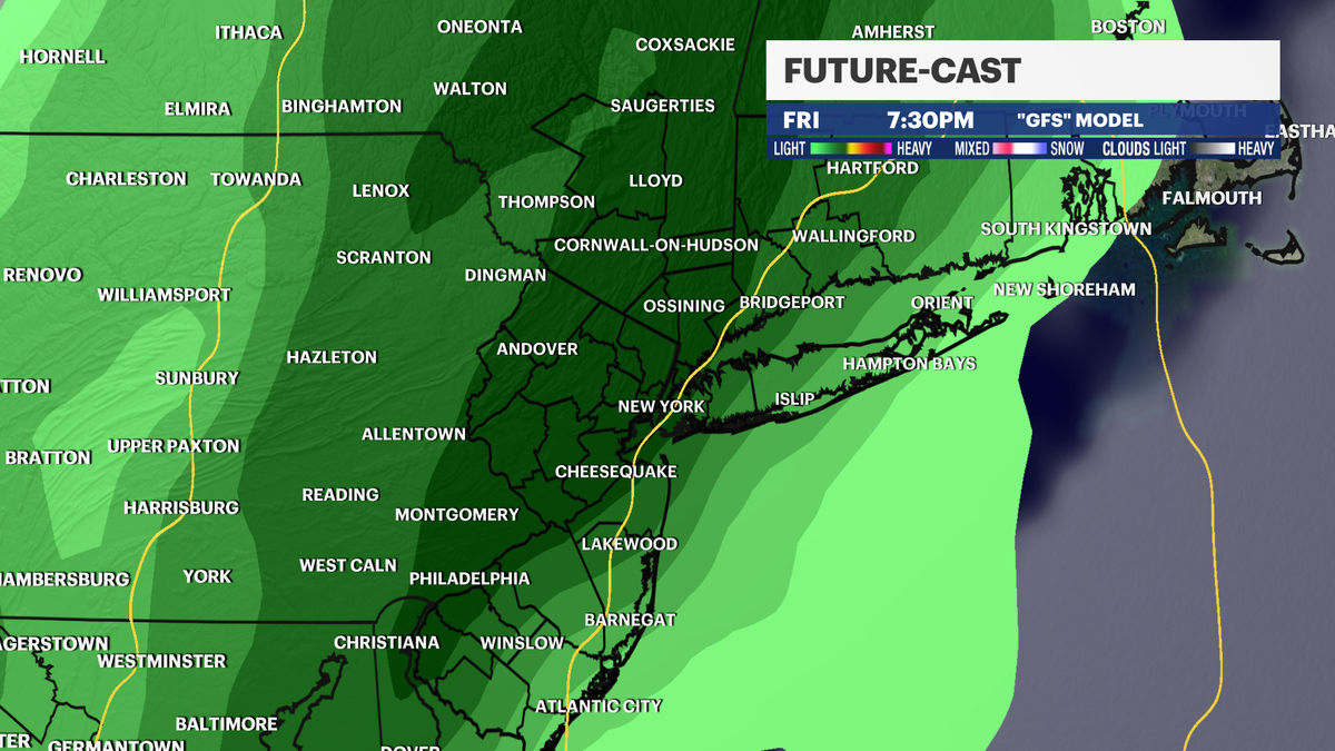
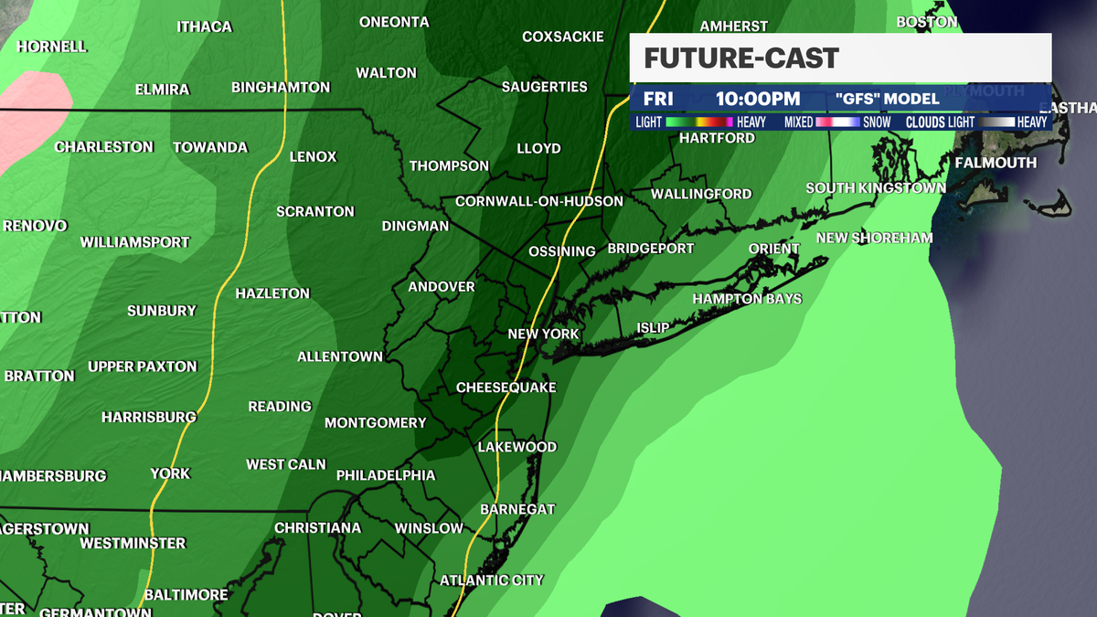

Rain showers Saturday morning will turn to bright sunshine in the afternoon.
News 12 will continue to bring you the latest forecast models, timing and
impacts of the upcoming weekend weather.
More from News 12
2:00

All East Orange schools to run on half-day schedule on Friday following heated meeting with officials
2:53

Autumn air sticks around for one more day in New Jersey
1:08

ANCHOR benefit website down until Oct. 23 for maintenance
1:43

JCP&L: Squirrel causes power outage in Monmouth County for 2nd time in as many months
0:30

Prosecutor: 2 nursing assistants accused of critically injuring patient in assault
0:40
